


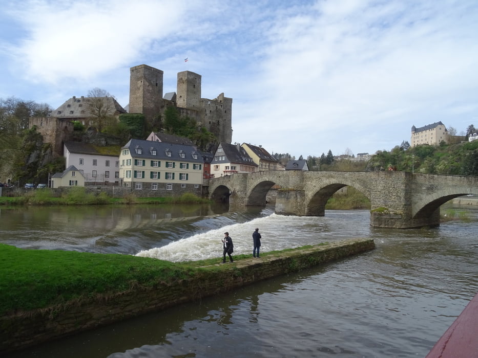
Vom Parkplatz geht es zuerst zur Schutzhütte auf dem Galgenberg. Von hier aus hat man die beste Weitsicht in alle Richtungen. Weite geht es über die Höhe am Kreuzweg entlang nach Runkel. Hier kann man Burg Runkel oder Schloss Schadeck besichtigen. Auch eine schöne Altstadt mit Cafès erwarten den Besucher. Nun geht es entlang am Lahnufer zurück nach Villmar.
Further information at
https://sonntagswandern.de/von-villmar-nach-runkel-und-an-der-lahn-entlang-zurueck-31-maerz-2024/Galeria trasy
Mapa trasy i profil wysokości
Minimum height 173 m
Maximum height 330 m
More about the tour author

|
Sonntagswanderin |
Komentarze

Nach Villmar zum Parkplatz Brotweg 1, Ecke Weilburgerstrasse
GPS tracks
Trackpoints-
GPX / Garmin Map Source (gpx) download
-
TCX / Garmin Training Center® (tcx) download
-
CRS / Garmin Training Center® (crs) download
-
Google Earth (kml) download
-
G7ToWin (g7t) download
-
TTQV (trk) download
-
Overlay (ovl) download
-
Fugawi (txt) download
-
Kompass (DAV) Track (tk) download
-
Karta trasy (pdf) download
-
Original file of the author (gpx) download
More about the tour author
|
|
Sonntagswanderin |
Add to my favorites
Remove from my favorites
Edit tags
Open track
My score
Rate