


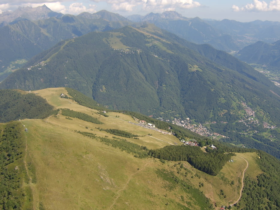
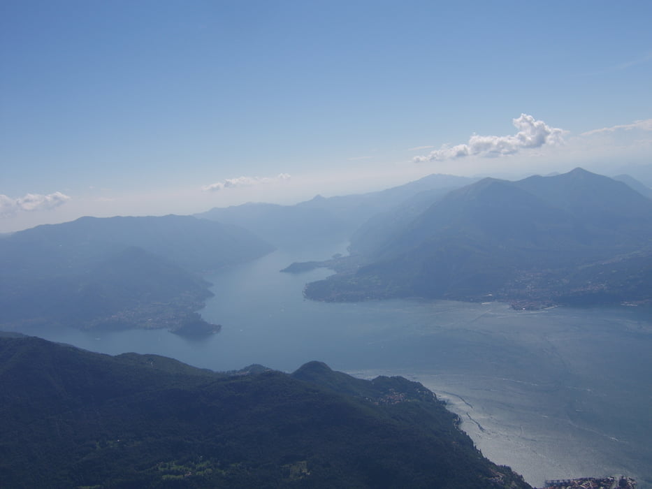
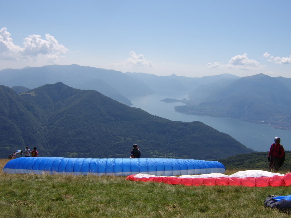
Gleitschirmflugberge Mt. Muggio und Maregno im Hinterland des Comersee bei Belaggio im Val Sassina
kein/wenig Talwind, im Sommer meist thermisch
Streckenmöglichkeit Richtung Bergamo
Von Sorico ist ist man auf der Superstrada in 30min am Landeplatz.
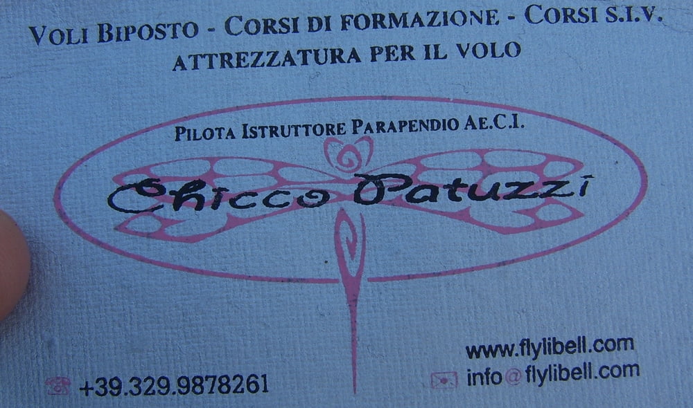
In der Bar Colibri hat es einen Clubtreff und Shuttlemöglichkeit zur Alp Giumello am Mt. Muggio. Maregno hat eine Seilbahn (ca. 4km vom Landplatz), alternativ hat es ab Piazzo (Wegpunkt) eine Strasse. Von Maregno ist der Streckenflug leichter, da der Talsprung vom Mt. Muggio entfällt. Visitenkarte als Bild anbei
Further information at
http://www.casarina.comGaleria trasy
Mapa trasy i profil wysokości
Minimum height 414 m
Maximum height 2066 m
More about the tour author
|
|
skyhopper |
Komentarze

Superstrada Colico - Lecco Abfahrt Belaggio, dort links ins Val Sassina.
GPS tracks
Trackpoints-
GPX / Garmin Map Source (gpx) download
-
TCX / Garmin Training Center® (tcx) download
-
CRS / Garmin Training Center® (crs) download
-
Google Earth (kml) download
-
G7ToWin (g7t) download
-
TTQV (trk) download
-
Overlay (ovl) download
-
Fugawi (txt) download
-
Kompass (DAV) Track (tk) download
-
Karta trasy (pdf) download
-
Original file of the author (gpx) download
More about the tour author
|
|
skyhopper |
Add to my favorites
Remove from my favorites
Edit tags
Open track
My score
Rate