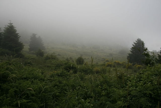
A circular trail starting and ending in Ipati - close to Lamia (Greece). The ascent follows a trekking path which continues to higher elevation but about 1 h from Ipati the trail splits from the trekking path and returns via a nice lonely tractor path winding its way back down to Ipati.
Mapa trasy i profil wysokości
Minimum height 363 m
Maximum height 941 m
Komentarze
The trail starts on the main square in Ipati.
GPS tracks
Trackpoints-
GPX / Garmin Map Source (gpx) download
-
TCX / Garmin Training Center® (tcx) download
-
CRS / Garmin Training Center® (crs) download
-
Google Earth (kml) download
-
G7ToWin (g7t) download
-
TTQV (trk) download
-
Overlay (ovl) download
-
Fugawi (txt) download
-
Kompass (DAV) Track (tk) download
-
Karta trasy (pdf) download
-
Original file of the author (gpx) download
Add to my favorites
Remove from my favorites
Edit tags
Open track
My score
Rate


Kastro tis Ypatis
There are lots of very nice trails in Mt. Oeta.