Login

Zapomniałeś swój login?

Cookies have to be accepted!
Your browser's cookie functionality is disabled. Please enable this functionality.

Not a member yet?

Register now
Login

Available for registred users only

Log in to use this feature.

Zapomniałeś swój login?

Cookies have to be accepted!
Your browser's cookie functionality is disabled. Please enable this functionality.

Not a member yet?

Register now
Filter
Kategorie
Advanced filters
  • Długość (km)
  • Wysokość
Zapisz filtr Reset filter

TrackRank

QRCode

Technical data

Długość124,1 km Wysokość2939 m Way down3810 m Czas trwania02:50 h:m Data25.07.2009
Oceny Author Krajobraz Czynnik zadowolenia Kondycja Technika

Statystyka

1736 Widoki Oceny 35 Downloads / Pliki do pobrania Przeciętnie
Rate
  • Karta trasy
  • Dojazd
  • Downloads / Pliki do pobrania

Schöner Flug vom Tegelberg nach der Vor-WM im Mai 09.

Über dem Schloss Neuschwanstein zu "kurbeln" ist immer wieder ein Erlebnis :-)
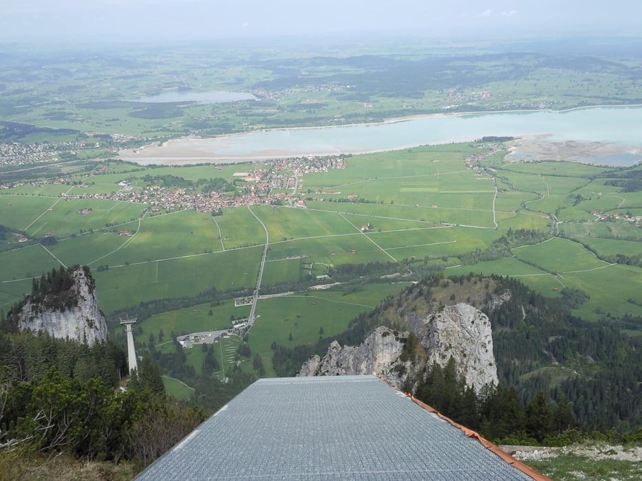
Galeria trasy

Mapa trasy i profil wysokości

  • Open Street Map
  • Google
Minimum height 811 m Maximum height 1782 m Widok szczegółowy

More about the tour author

manni-too
Member since 2009

Send private message

Komentarze

GPS tracks

Trackpoints
  • GPX / Garmin Map Source (gpx) download
  • TCX / Garmin Training Center® (tcx) download
  • CRS / Garmin Training Center® (crs) download
  • Google Earth (kml) download
  • G7ToWin (g7t) download
  • TTQV (trk) download
  • Overlay (ovl) download
  • Fugawi (txt) download
  • Kompass (DAV) Track (tk) download
  • Karta trasy (pdf) download
  • Original file of the author (gpx) download

More about the tour author

manni-too
Member since 2009

Send private message
Share track
Add to my favorites
Remove from my favorites
Edit tags
My score
Rate
Trasa: Tegelberg
Rodzaj: Lotnie i paralotnie
Długość: 124,1 km
Evaluated on:
Czas trwania:
Day(s)
Hour(s)
Minute(s)
Ocena: Krajobraz Czynnik zadowolenia Kondycja Technika