


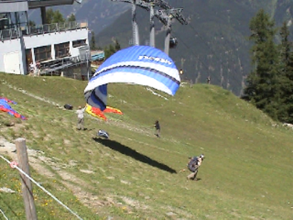
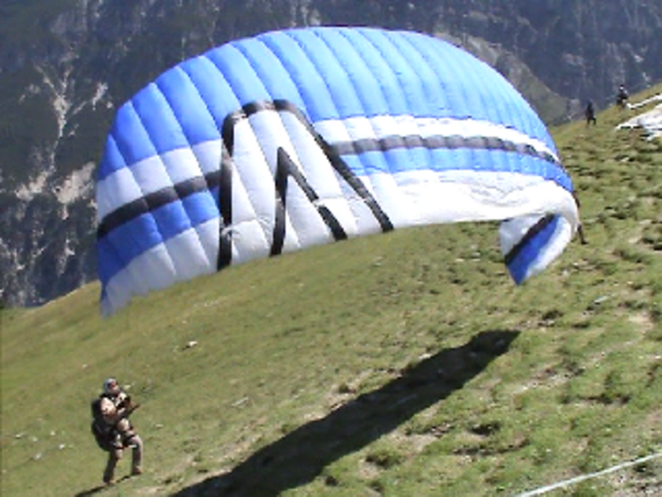
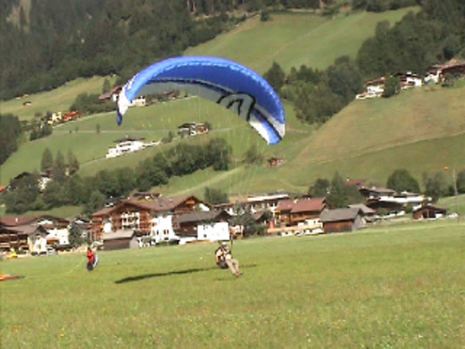
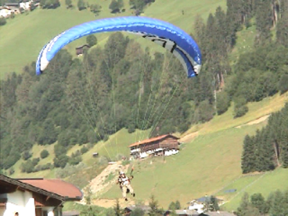
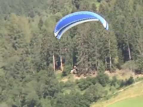
Ausbildungsflug zur A-Lizenz für Gleitschirmführer.
Auffahrt mit dem Elferlift und mit wenigen Schritten zum Startplatz.
Flugweg nach Anweisung des Fluglehrers.
Prüfungsfigur Leitlinienacht, einige Kurven aus Spaß am Fliegen, an der Position Höhe abbauen, Landeeinteilung, Linksvolte zum Landeanflug bestehend aus Gegenanflug, Queranflug und Endanflug, stehende Landung in einem Landefeld mit 60 x 60 m..
Further information at
http://www.alpen-paragliding-center-stubai.at/parafly.htmlGaleria trasy
Mapa trasy i profil wysokości
Minimum height 985 m
Maximum height 1792 m
More about the tour author
|
|
KaufensH |
Komentarze
Sie erreichen das Stubaital am besten über die Brennerautobahn. Fahren Sie zunächst auf der Autobahn bis Innsbruck.
Am Autobahn-Dreieck Innsbruck fahren Sie Richtung Brenner.
Nehmen Sie auf der Brenner-Autobahn die Ausfahrt Stubaital. Von Innsbruck bis ins Stubaital sind es nur ca. 20 km. Das Stubaital ist ca. 30 km lang
Die Autobahnen in Österreich sind mautpflichtig.
Die Strecke von Innsbruck über die Europabrücke bis
zur Ausfahrt Stubaital kostet noch einmal extra 2,50 Euro
Die Anfahrt ins Stubaital über die alte Brenne-Landstraße ist mautfrei.
GPS tracks
Trackpoints-
GPX / Garmin Map Source (gpx) download
-
TCX / Garmin Training Center® (tcx) download
-
CRS / Garmin Training Center® (crs) download
-
Google Earth (kml) download
-
G7ToWin (g7t) download
-
TTQV (trk) download
-
Overlay (ovl) download
-
Fugawi (txt) download
-
Kompass (DAV) Track (tk) download
-
Karta trasy (pdf) download
-
Original file of the author (gpx) download
More about the tour author
|
|
KaufensH |
Add to my favorites
Remove from my favorites
Edit tags
Open track
My score
Rate
Gleitschirmausbildung