


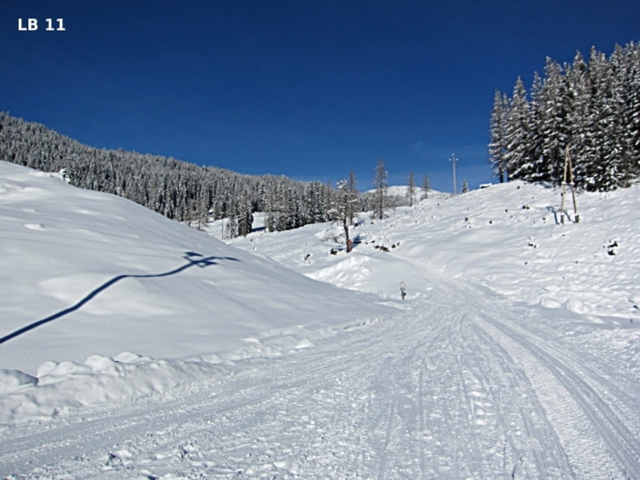
Die 800m lange Rodelbahn ist jeden Abend beleuchtet. Start und Ziel ist gleich direkt neben dem Gnadenalmstüberl. Wer öfters die tolle Rodelbahn hinunterfahren, oder sich das Raufgehen ersparen will, kann für ein paar Euro mit dem Ski Doo - Rodeltaxi mitfahren. Besonders vorteilhaft finde ich, dass man nicht auf der Rodelbahn hinaufgehen muss. Bei einem durchschnittlichen Gefälle von 17% wäre das auch ganz schön anstrengend und aufgrund der erreichbaren Geschwindigkeiten viel zu gefährlich. weitere Infos und Fotos findest du auf biketours4you.at
The 800m-long toboggan run is lit every night. Start and finish is next to the Gnadenalmstüberl on the Gnadenalm in Obertauern. Who often go down the great sledding hill, or want to avoid go up, can ride for a few euros with the Ski-Doo - toboggan taxi. Particularly advantageous, I find that you do not have to go up on the slope. With an average gradient of 17% that would be quite exhausting and a lot due to the attainable speeds too dangerous.
more info and photos - biketours4you.at
Galeria trasy
Mapa trasy i profil wysokości
Minimum height 1283 m
Maximum height 1422 m
More about the tour author
|
|
Trek1400d |
Komentarze

GPS tracks
Trackpoints-
GPX / Garmin Map Source (gpx) download
-
TCX / Garmin Training Center® (tcx) download
-
CRS / Garmin Training Center® (crs) download
-
Google Earth (kml) download
-
G7ToWin (g7t) download
-
TTQV (trk) download
-
Overlay (ovl) download
-
Fugawi (txt) download
-
Kompass (DAV) Track (tk) download
-
Karta trasy (pdf) download
-
Original file of the author (gpx) download
More about the tour author
|
|
Trek1400d |
Add to my favorites
Remove from my favorites
Edit tags
Open track
My score
Rate