

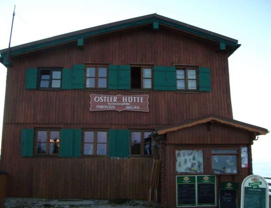

Von der Ostlerhütte am Breitenberg südl. von Pfronten/Allgäu hinunter ins Achtal and die Bayerisch/Tiroler Grenze
Mapa trasy i profil wysokości
Minimum height 995 m
Maximum height 1837 m
More about the tour author
|
|
Traenkerluis |
Komentarze
More about the tour author
|
|
Traenkerluis |
Add to my favorites
Remove from my favorites
Edit tags
Open track


My score
Rate
Video zur Tour