


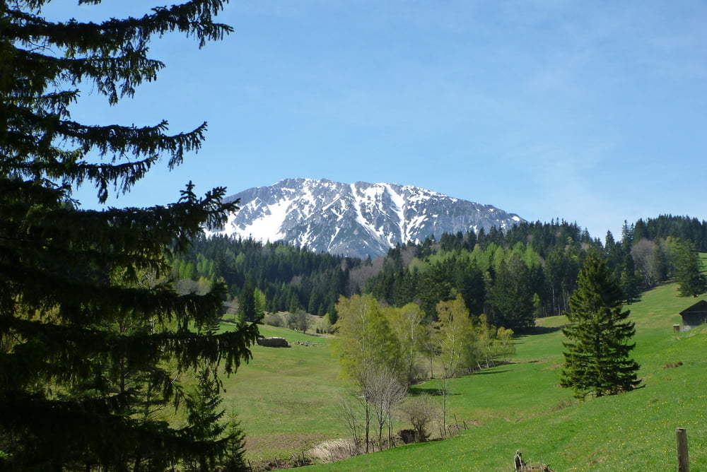
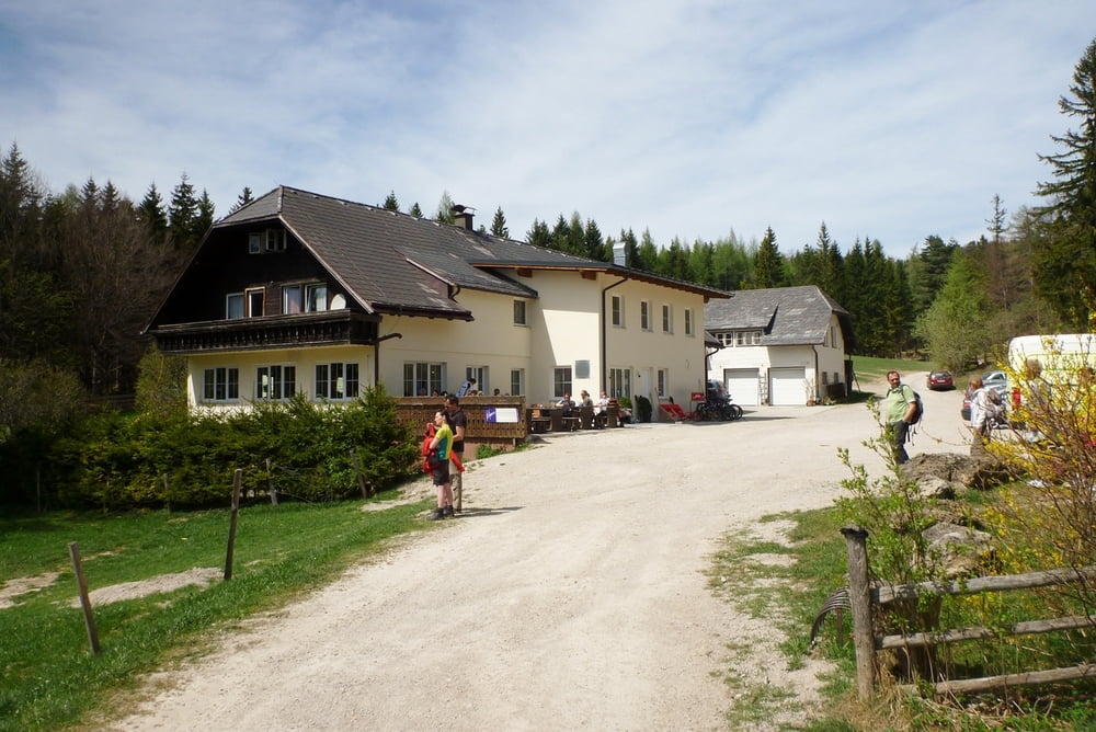
Die Wanderung beginnt am Ende der Sierningstraße in Puchberg (am Beginn des Schoberweg gibt es meist freie Parkplätze). Immer entlang des Schoberbaches bis zur Schoberalm. Über die wunderschöne Bergwiese mit tollen Blick auf den Schneeberg zum GH Mamauwiese (frisch renoviert - super Küche).
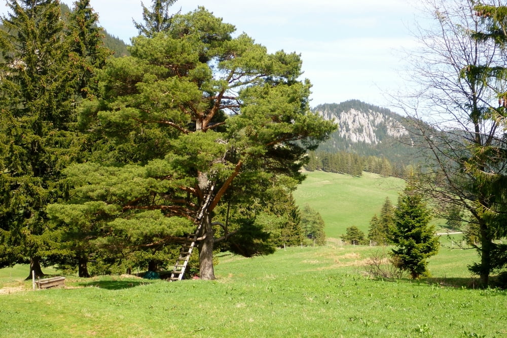
Wir haben den gleichen Weg zurückgenommen, es gibt allerdings einige Möglichkeiten zurück nach Puchberg zu wandern z.B auf den Römerweg über den Wasserfall.
Alle Fotos siehe Linke
Further information at
https://skydrive.live.com/redir.aspx?cid=dff63ce9c39979fe&resid=DFF63CE9C39979FE!5572&parid=DFF63CE9C39979FE!110&authkey=!AKfSdsJ8Um3JBfkGaleria trasy

Mapa trasy i profil wysokości
Minimum height 620 m
Maximum height 1006 m
More about the tour author

|
Herbiy |
Komentarze

GPS tracks
Trackpoints-
GPX / Garmin Map Source (gpx) download
-
TCX / Garmin Training Center® (tcx) download
-
CRS / Garmin Training Center® (crs) download
-
Google Earth (kml) download
-
G7ToWin (g7t) download
-
TTQV (trk) download
-
Overlay (ovl) download
-
Fugawi (txt) download
-
Kompass (DAV) Track (tk) download
-
Karta trasy (pdf) download
-
Original file of the author (gpx) download
More about the tour author
|
|
Herbiy |
Add to my favorites
Remove from my favorites
Edit tags
Open track
My score
Rate