


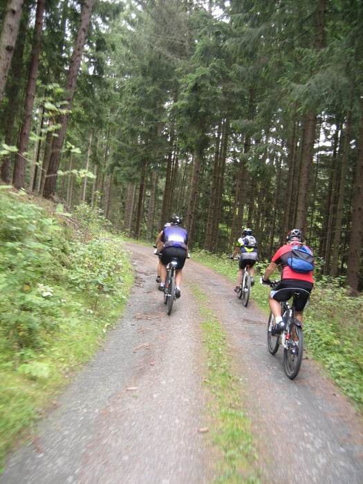
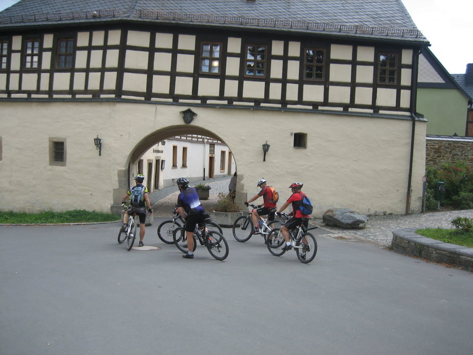
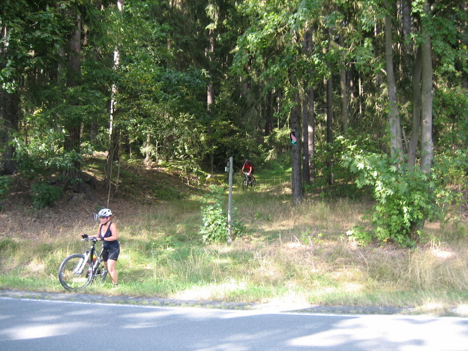
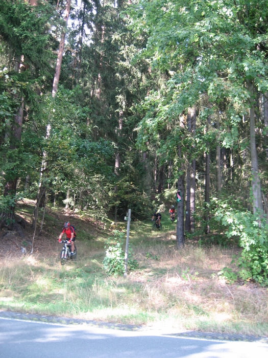
Tolle Fahrt mit der Gruppe nakole assko durch das Vogtland. Es wurde weitgehend auf Wald und Wiesenwegen gefahren, auf Asphalt nur wo es notwendig war. Wir hatten viel Spaß und fuhren eine schöne Tour mit kernigen Anstiegen und Trails die rauf und runter gingen.
Galerija izletov
Zemljevid in višinski profil izleta
Minimum height 451 m
Maximum height 705 m
More about the tour author
|
|
Bernd-Ghostbiker |
Komentarji

Startpunkt ist Thiersheim. Anreise per PKW: aus Richtung Regensburg - Weiden A 93 in Richtung Berlin Ausfahrt Thiersheim aus Richtung Nürnberg - Bayreuth A 9 in Richtung Berlin Ausfahrt Bad Berneck und dann durch das Fichtelgebirge über Tröstau, Wunsiedel, Marktredwitz nach Thiersheim oder Ausfahrt Gefrees über Weißenstadt, Röslau, Bernstein nach Thiersheim
Poti GPS
Trackpoints-
GPX / Garmin Map Source (gpx) download
-
TCX / Garmin Training Center® (tcx) download
-
CRS / Garmin Training Center® (crs) download
-
Google Earth (kml) download
-
G7ToWin (g7t) download
-
TTQV (trk) download
-
Overlay (ovl) download
-
Fugawi (txt) download
-
Kompass (DAV) Track (tk) download
-
List z izleti (pdf) download
-
Original file of the author (gpx) download
More about the tour author
|
|
Bernd-Ghostbiker |
Add to my favorites
Remove from my favorites
Edit tags
Open track
My score
Rate