Login

Si pozabil/a podatke za prijavo?

Cookies have to be accepted!
Your browser's cookie functionality is disabled. Please enable this functionality.

Not a member yet?

Register now
Login

Available for registred users only

Log in to use this feature.

Si pozabil/a podatke za prijavo?

Cookies have to be accepted!
Your browser's cookie functionality is disabled. Please enable this functionality.

Not a member yet?

Register now
Filter
Kategorije
Advanced filters
  • Dolžina (km)
  • Metri nadmorske višine
Shrani filter Reset filter

TrackRank

QRCode

Technical data

Dolžina33,9 km Metri nadmorske višine573 m Way down2125 m Trajanje00:00 h:m Datum19.09.2012
Ocene Author Pokrajina Dejavnik zabave Kondicija Tehnika

Statistika

646 Pogledi Ocene 89 Prenosi Povprečje
Rate
  • List z izleti
  • Prihod
  • Prenosi

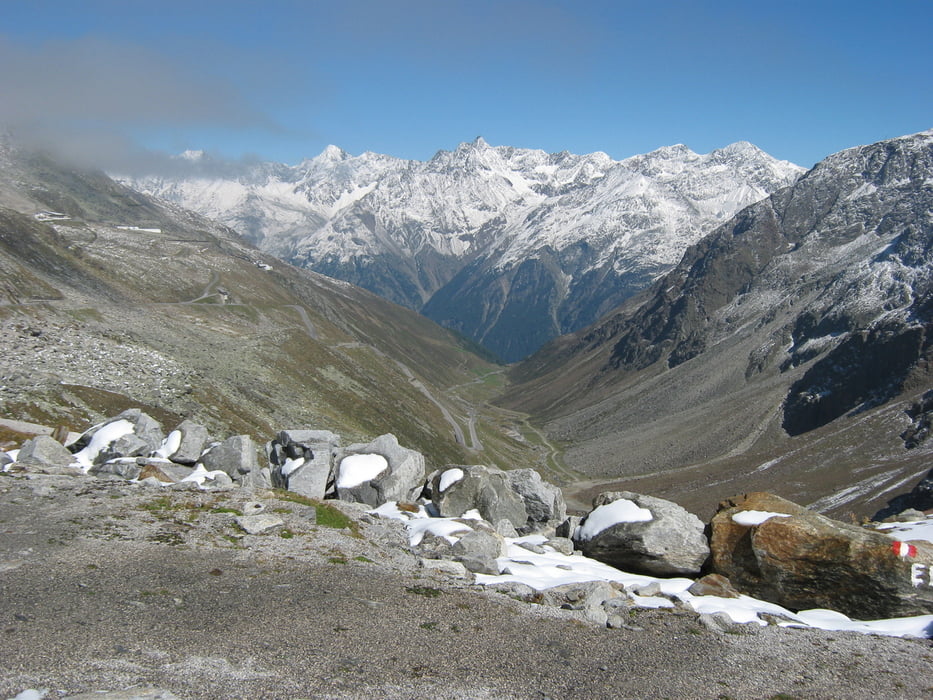
Von der Braunschweiger Hütte übers Rettenbachjoch ins Ötztal.

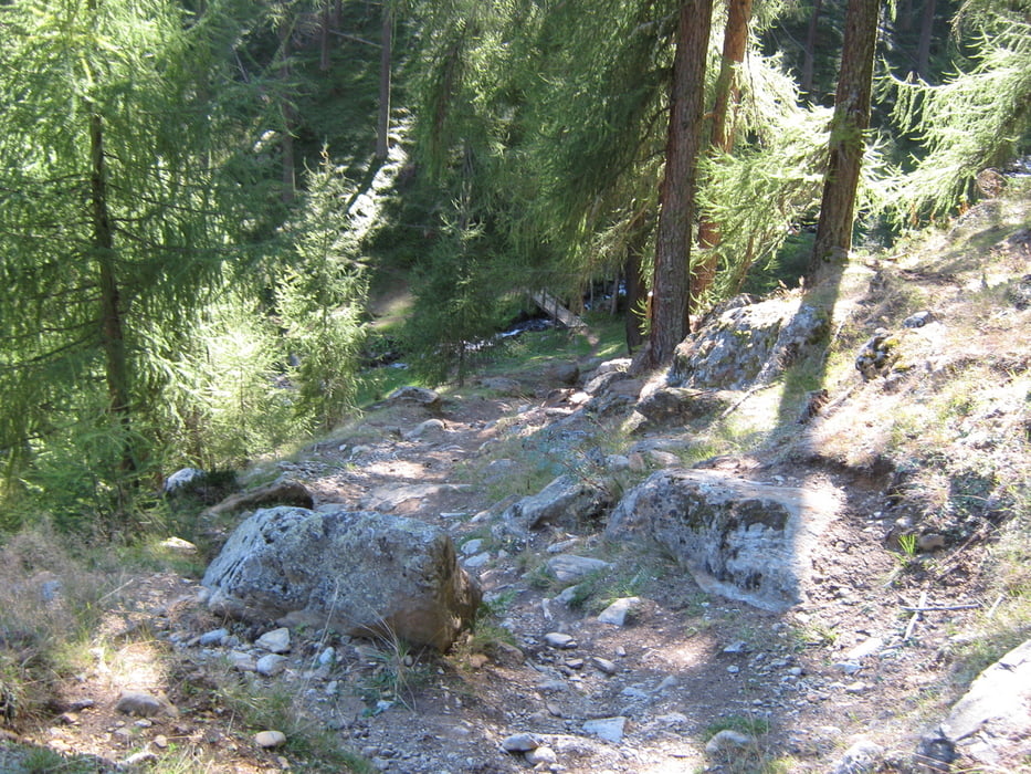
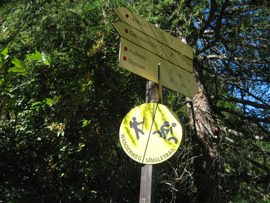
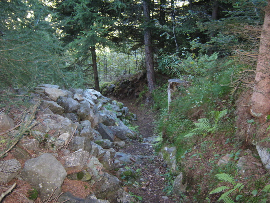
Abfahrt anfangs über die Gletscherstraße, dann hauptsächlich über Wanderwege, Singletrails und den Ötztaltrail Nr.11 bis Winklen (Längenfeld)


Galerija izletov

Zemljevid in višinski profil izleta

  • Open Street Map
  • Google
Minimum height 1153 m Maximum height 2995 m Prikaz podrobnosti

More about the tour author

hu1308
Member since 2010

Send private message

Komentarji

Poti GPS

Trackpoints
  • GPX / Garmin Map Source (gpx) download
  • TCX / Garmin Training Center® (tcx) download
  • CRS / Garmin Training Center® (crs) download
  • Google Earth (kml) download
  • G7ToWin (g7t) download
  • TTQV (trk) download
  • Overlay (ovl) download
  • Fugawi (txt) download
  • Kompass (DAV) Track (tk) download
  • List z izleti (pdf) download
  • Original file of the author (gpx) download

More about the tour author

hu1308
Member since 2010

Send private message
Share track
Add to my favorites
Remove from my favorites
Edit tags
My score
Rate
Izlet: Vom Pitztal ins Ötztal
Vrsta: Gorsko kolo
Dolžina: 33,9 km
Evaluated on:
Trajanje:
Day(s)
Hour(s)
Minute(s)
Ocena: Pokrajina Dejavnik zabave Kondicija Tehnika