Login

Si pozabil/a podatke za prijavo?

Cookies have to be accepted!
Your browser's cookie functionality is disabled. Please enable this functionality.

Not a member yet?

Register now
Login

Available for registred users only

Log in to use this feature.

Si pozabil/a podatke za prijavo?

Cookies have to be accepted!
Your browser's cookie functionality is disabled. Please enable this functionality.

Not a member yet?

Register now
Filter
Kategorije
Advanced filters
  • Dolžina (km)
  • Metri nadmorske višine
Shrani filter Reset filter

TrackRank

QRCode

Technical data

Dolžina9,3 km Metri nadmorske višine321 m Way down310 m Trajanje02:30 h:m Datum19.01.2013
Ocene Author User Pokrajina Dejavnik zabave Kondicija Tehnika

Statistika

516 Pogledi 1 Ocena 67 Prenosi 3.00 Povprečje
Rate
  • List z izleti
  • Prihod
  • Prenosi

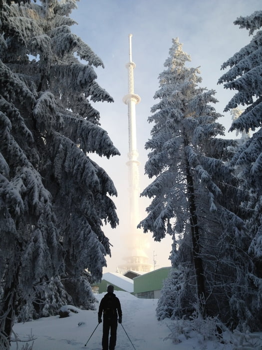
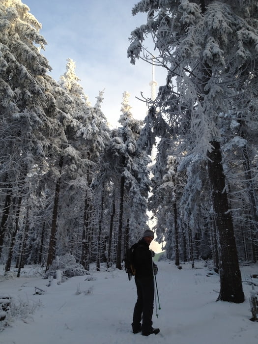
Schöne Tour in der Ochsenkopfregion, mit Einkehrmöglichkeit am Gipfel. Achtung eine Teilstrecke führt über eine Loipe, bitte am Rand laufen.

Viel Schnee und Spass!!!
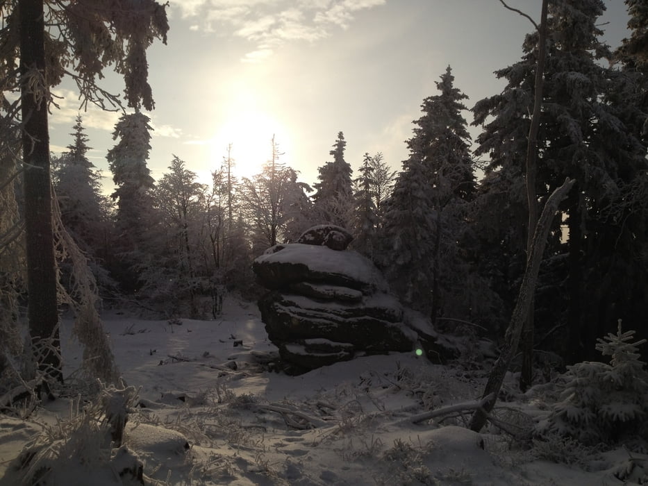
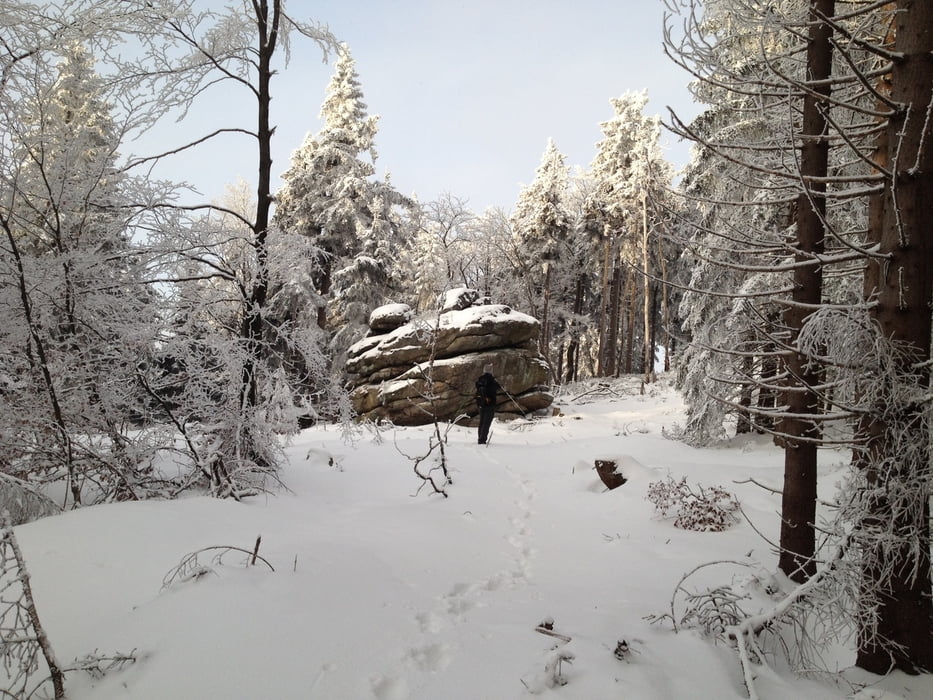
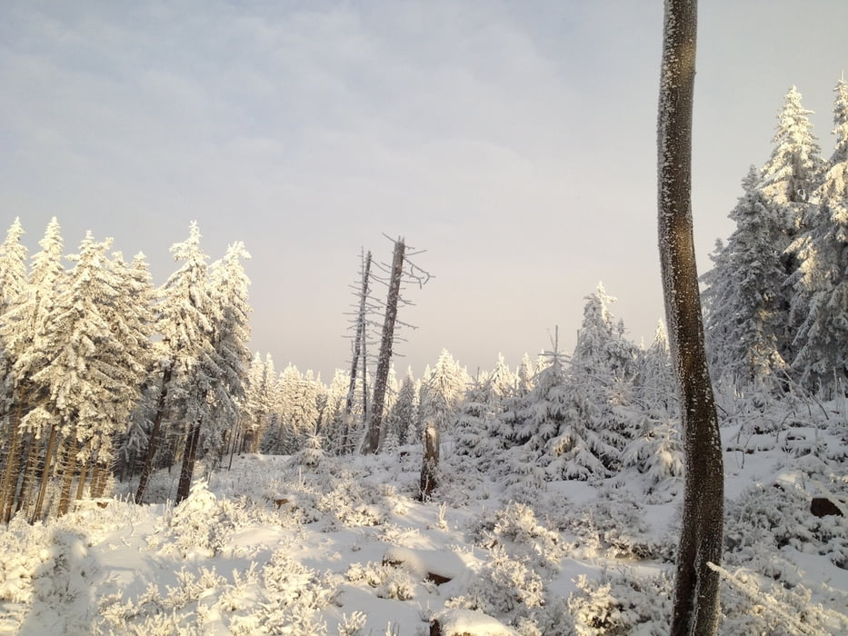
 

Galerija izletov

Zemljevid in višinski profil izleta

  • Open Street Map
  • Google
Minimum height 744 m Maximum height 1021 m Prikaz podrobnosti

More about the tour author

berndhuber
Member since 2008

Send private message

Komentarji

A9  > Bayreuth nord > B303 > Fleckl


Poti GPS

Trackpoints
  • GPX / Garmin Map Source (gpx) download
  • TCX / Garmin Training Center® (tcx) download
  • CRS / Garmin Training Center® (crs) download
  • Google Earth (kml) download
  • G7ToWin (g7t) download
  • TTQV (trk) download
  • Overlay (ovl) download
  • Fugawi (txt) download
  • Kompass (DAV) Track (tk) download
  • List z izleti (pdf) download
  • Original file of the author (gpx) download

More about the tour author

berndhuber
Member since 2008

Send private message
Share track
Add to my favorites
Remove from my favorites
Edit tags
My score
Rate
Izlet: vom Täfelein zum Ochsenkopf
Vrsta: Krplje
Dolžina: 9,3 km
Evaluated on:
Trajanje:
Day(s)
Hour(s)
Minute(s)
Ocena: Pokrajina Dejavnik zabave Kondicija Tehnika