

Aufstieg: 2 Stunden 20 Minuten
Abfahrt:35 Minuten
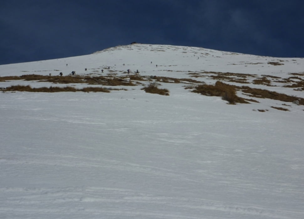
AUFSTIEG :Vom Parkplatz in nördliche Richtung über die weiten Almflächen. In einem Linksschwenk zieht man auf einen Rücken und weiter hinauf zur Krnhütte. Von dort zum Gipfel. Sehr leichte Orientierung.
ABFAHRT :Wie Aufstieg.
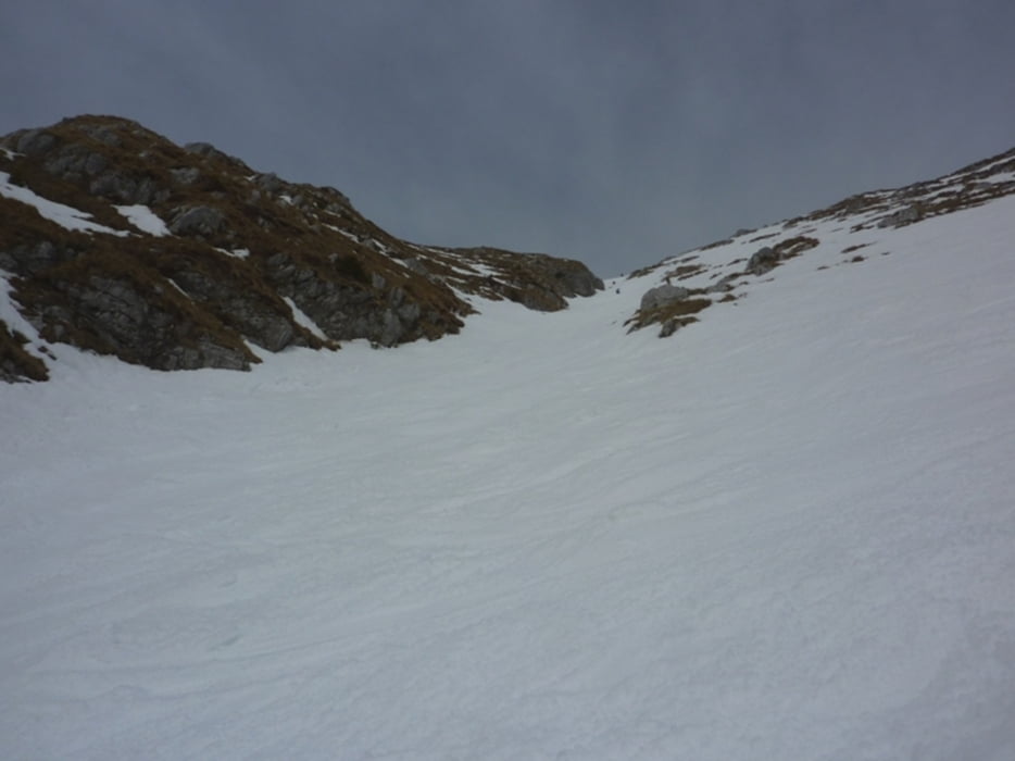
Abfahrtsvariante: Man kann vom Gipfel auch direkter abfahren.
Diese Variante ist etwas steiler und man fährt kurz in einer Rinne.
Galerija izletov
Zemljevid in višinski profil izleta
Minimum height 874 m
Maximum height 2276 m
More about the tour author
|
|
harald07071 |
Komentarji

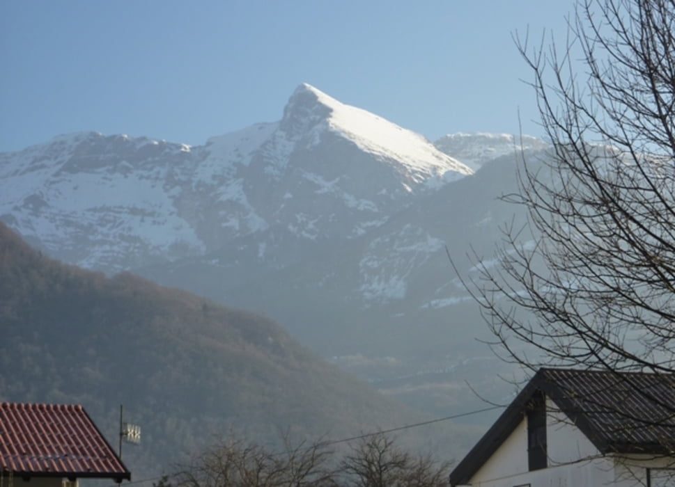
In Kobarid muss man auf die andere Seite der Soca übersetzen. Nach der kleinen Steinbrücke biegt man rechts ab und folgt dem Straßenverlauf hinauf bis in das kleine und idyllische Bergdörfchen Krn. Dort teilt sich die Straße, man folgt dem linken Straßenarm und fährt, je nach Schneelage, bis auf den obersten Punkt, einem Parkplatz unter den Almen. Sollte es eisig sein, kann man das Auto auch entlang der Strasse abstellen.
Poti GPS
Trackpoints-
GPX / Garmin Map Source (gpx) download
-
TCX / Garmin Training Center® (tcx) download
-
CRS / Garmin Training Center® (crs) download
-
Google Earth (kml) download
-
G7ToWin (g7t) download
-
TTQV (trk) download
-
Overlay (ovl) download
-
Fugawi (txt) download
-
Kompass (DAV) Track (tk) download
-
List z izleti (pdf) download
-
Original file of the author (gpx) download
More about the tour author
|
|
harald07071 |
Add to my favorites
Remove from my favorites
Edit tags
Open track
My score
Rate