


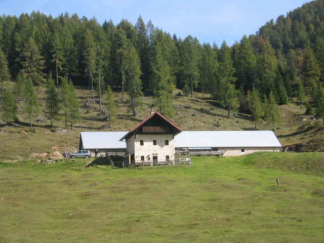
Die Tour beginnt in Naggl unterhalb vom Nagglerhof. Nun gehts westlich am See entlang Richtung Kaiser-Franz-Josefs-Höhe. Dann links stets bergab nach Weißbriach weiter durch St. Lorenzen und Jadersdorf in Richtung Hermagor. Es kann bis Hermagor und dann Radnig gefahren werden, wir haben jedoch eine steilen Fußweg direkt nach Radnig gewählt. Er ist sehr steil aber zu bewältigen. Von Radnig sind ca. 800 hm auf groben Schotter bis zur Radniger Alm zu bewältigen. Nach der Alm geht ein steiler Weg (Achtung Bikeverbot: Schiebepassage!!!) hinunter zur Hermagorer Bodenalm, in die unbedingt eingekehrt werden muß. Empfehlenswerte Brotzeiten!!! Von dort stets bergab bis zur Naggler Alm. Super Tour!
Galerija izletov
Zemljevid in višinski profil izleta
Minimum height 630 m
Maximum height 1568 m
More about the tour author
|
|
mareike74 |
Komentarji

Die Tauernautobahn bis Spittal an der Drau. Dort von der Autobahn abfahren und Richtung Greifenburg. Von Greifenburg Richtung Hermagor, jedoch nicht bis Hermagor fahren. Vorher Richtung Oberdorf Gatschach Techendorf abbiegen.
Poti GPS
Trackpoints-
GPX / Garmin Map Source (gpx) download
-
TCX / Garmin Training Center® (tcx) download
-
CRS / Garmin Training Center® (crs) download
-
Google Earth (kml) download
-
G7ToWin (g7t) download
-
TTQV (trk) download
-
Overlay (ovl) download
-
Fugawi (txt) download
-
Kompass (DAV) Track (tk) download
-
List z izleti (pdf) download
-
Original file of the author (gpx) download
More about the tour author
|
|
mareike74 |
Add to my favorites
Remove from my favorites
Edit tags
Open track
My score
Rate