


Alle Bilder der Tour gibt es unter www.panoramio.com/photo/104719184
Gefahren wird der ausgesschilderte Rundweg um den Möhnesee im Uhrzeigersinn: www.moehnesee.de/touristikcms/index.php
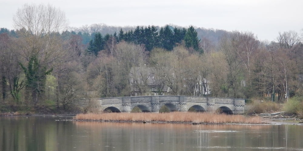
Der Einstieg ist natürlich überall möglich. Ich bin in Delecke gestartet. Die Wege sind geteert und natürlich in der Regel eben. Zum Teil geht der Radweg neben der Straße. Auf der gesamten Strecke werden 180 Höhenmeter überwunden. Aber auch nur, weil ich von der Staumauer noch einmal herunter nach Günne bin.
Am Schluss kann man in Delecke im www.cafe-geronimo.com/index.php noch einen Kaffee trinken.
Further information at
http://www.moehnesee.de/Galerija izletov


Zemljevid in višinski profil izleta
Minimum height 186 m
Maximum height 301 m
More about the tour author
|
|
MatthiasBy |
Komentarji

Parken kann man in Delecke überall. Gegebenfalls muss allerdings Parkgebühr bezahlt werden.
Poti GPS
Trackpoints-
GPX / Garmin Map Source (gpx) download
-
TCX / Garmin Training Center® (tcx) download
-
CRS / Garmin Training Center® (crs) download
-
Google Earth (kml) download
-
G7ToWin (g7t) download
-
TTQV (trk) download
-
Overlay (ovl) download
-
Fugawi (txt) download
-
Kompass (DAV) Track (tk) download
-
List z izleti (pdf) download
-
Original file of the author (gpx) download
More about the tour author
|
|
MatthiasBy |
Add to my favorites
Remove from my favorites
Edit tags
Open track
My score
Rate