
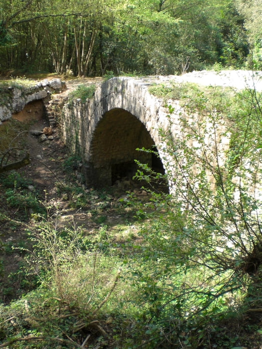

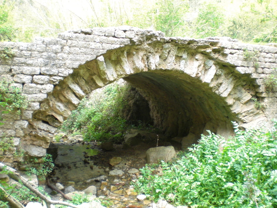
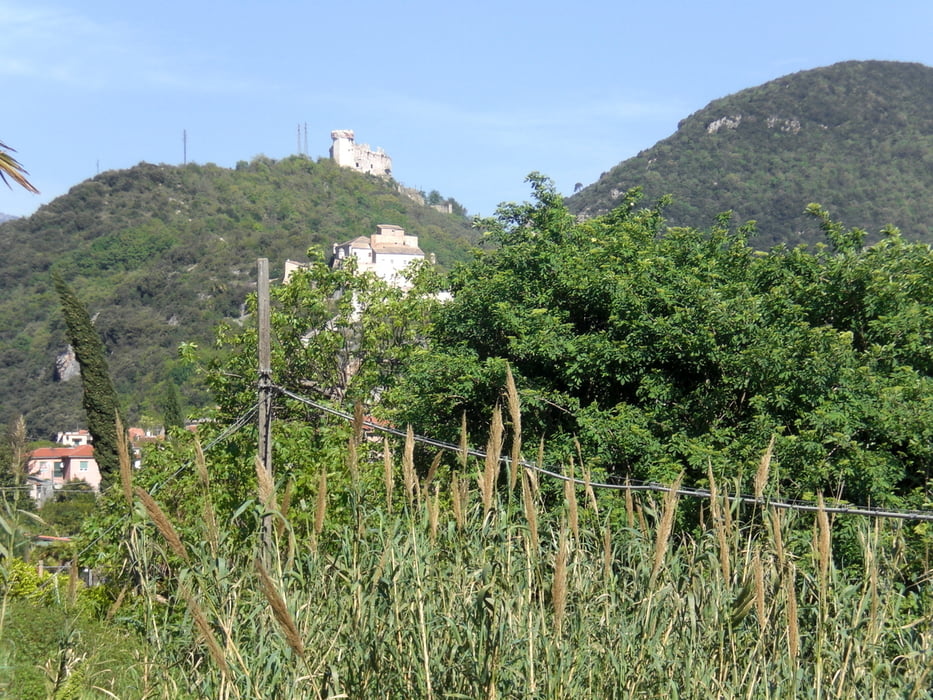
vom Camping Tahiti nach Calvisio und weiter hinauf nach Verzi. Kurz vor Verzi gehts links ab ins Valle Ponci. Erst auf festgefahrenem Schotter und dann als Singletrail das Tal hinauf bis nach Magnone. Über Borghi fährt man auf Forstwegen hinauf zum Rifugio San Giacomo. Nach einem Stück auf der Alta Dei Via Liguri gehts bald links weg in einen ziemlich verwahrlosten Singletrail. Loses Laub, loser grober Schotter, viele heruntergefallene Äste, durch schlüpfrige Bachbette mit immer wiederkehrenden Gegenanstiegen. Oberhalb von Feligno habe ich dann den recht anspruchsvollen Downhill nach Feligno genommen. Auf der Asphaltstrasse gings dann wieder nach Finlae zurück.
Galerija izletov
Zemljevid in višinski profil izleta
Minimum height 1 m
Maximum height 817 m
More about the tour author
|
|
Fruehaufsteher |
Komentarji

Poti GPS
Trackpoints-
GPX / Garmin Map Source (gpx) download
-
TCX / Garmin Training Center® (tcx) download
-
CRS / Garmin Training Center® (crs) download
-
Google Earth (kml) download
-
G7ToWin (g7t) download
-
TTQV (trk) download
-
Overlay (ovl) download
-
Fugawi (txt) download
-
Kompass (DAV) Track (tk) download
-
List z izleti (pdf) download
-
Original file of the author (gpx) download
More about the tour author
|
|
Fruehaufsteher |
Add to my favorites
Remove from my favorites
Edit tags
Open track
My score
Rate