Login

Si pozabil/a podatke za prijavo?

Cookies have to be accepted!
Your browser's cookie functionality is disabled. Please enable this functionality.

Not a member yet?

Register now
Login

Available for registred users only

Log in to use this feature.

Si pozabil/a podatke za prijavo?

Cookies have to be accepted!
Your browser's cookie functionality is disabled. Please enable this functionality.

Not a member yet?

Register now
Filter
Kategorije
Advanced filters
  • Dolžina (km)
  • Metri nadmorske višine
Shrani filter Reset filter

TrackRank

QRCode

Technical data

Dolžina74,8 km Metri nadmorske višine1886 m Way down1884 m Trajanje00:00 h:m Datum24.08.2014
Ocene Author Pokrajina Dejavnik zabave Kondicija Tehnika

Statistika

256 Pogledi Ocene 24 Prenosi Povprečje
Rate
  • List z izleti
  • Prihod
  • Prenosi

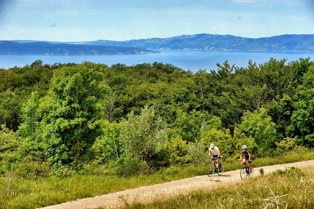
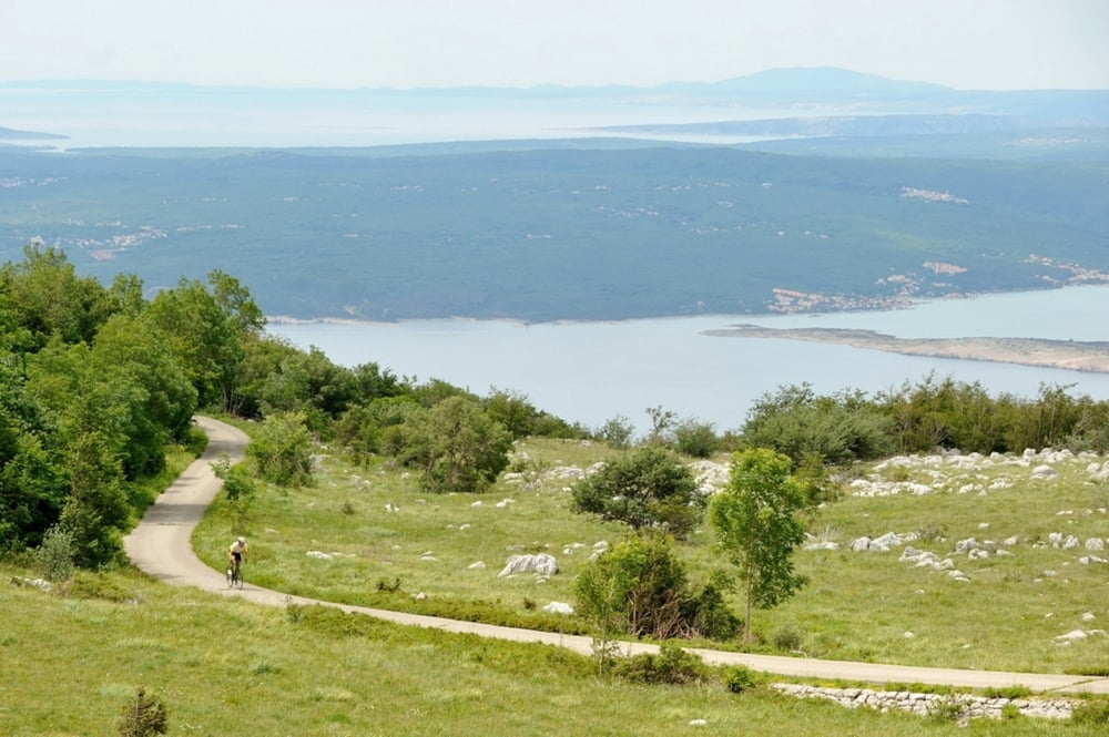
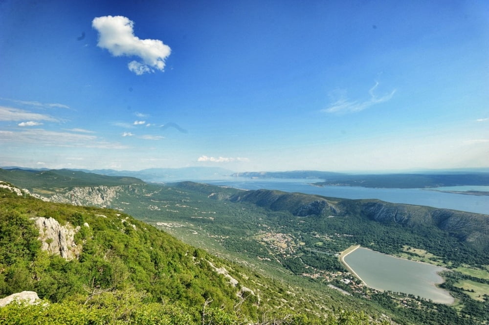
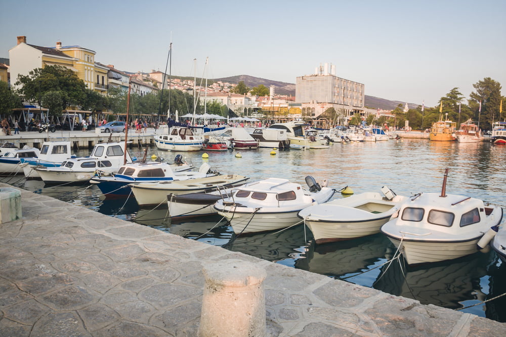
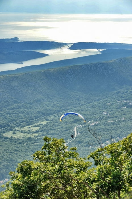
Izazovna ruta koja na relativno kratkih 75 km ali zahtjevnih 1.600 metara uspona otkriva čari ove planinske destinacije koja je svega 15 kilometara od Jadranskog mora. Ruta kreće iz Fužina i nakon laganog zagrijavanja kroz Ličko polje kreće uspon kroz gustu goransku šumu. Nakon nekog vremena cesta se kreće spuštati prema moru i na otprilike polovici rute dolazimo do primorskog mjesta Selce. Nastavljamo dalje prema Crikvenici i nakon toga kreće uspon preko Triblja, Križišća i Hreljina u Zlobin i završava brzim spustom nazad u Fužine.

A challenging route, of relatively modest 75 km, but the physically demanding ascent of 1600 meters reveals the charms of this mountain destination, which is only 15 kilometers from the Adriatic Sea. The route stars in Fužine and after a warm-up through Ličko polje, it ascends through a thick mountain forest. After a while, the road starts descending towards the sea and half-way down we come to the coast town Selce. The route continues towards Crikvenica and ascends over Tribalj, Križišće and Hreljin to Zlobin and ends with a fast descent back to Fužine.

http://www.bitoraj.hr
http://www.adriabike.hr


Galerija izletov

Zemljevid in višinski profil izleta

  • Open Street Map
  • Google
Minimum height 1 m Maximum height 959 m Prikaz podrobnosti

More about the tour author

AdriaBikeHotels
Member since 2014

Send private message

Komentarji

Poti GPS

Trackpoints
  • GPX / Garmin Map Source (gpx) download
  • TCX / Garmin Training Center® (tcx) download
  • CRS / Garmin Training Center® (crs) download
  • Google Earth (kml) download
  • G7ToWin (g7t) download
  • TTQV (trk) download
  • Overlay (ovl) download
  • Fugawi (txt) download
  • Kompass (DAV) Track (tk) download
  • List z izleti (pdf) download
  • Original file of the author (gpx) download

More about the tour author

AdriaBikeHotels
Member since 2014

Send private message
Share track
Add to my favorites
Remove from my favorites
Edit tags
My score
Rate
Izlet: FUŽINE Road 2
Vrsta: Dirkalno kolo
Dolžina: 74,8 km
Evaluated on:
Trajanje:
Day(s)
Hour(s)
Minute(s)
Ocena: Pokrajina Dejavnik zabave Kondicija Tehnika