


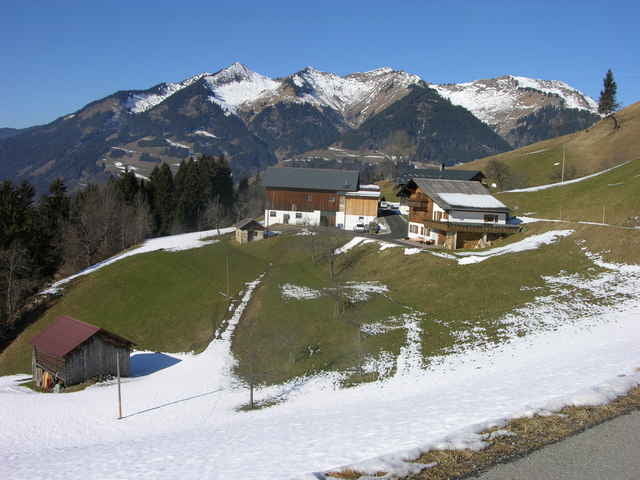
Diese Runde (Start und Ziel gemeinsam) eignet sich vor allem für eine intensive Beschleunigung des Pulses, da kurz nach dem Start (Waypoint 1) die Strecke bis kurz vor "Hinterebene" (Waypoínt 4) um fast 200 m ansteigt. Man läuft auf Asphalt und Wurzelpfaden, Güterwegen mit Schotter und am Schluss, die letzten 2 km auf wenig befahrenen Straßen bzw. deren Gehsteigen. Bemerkenswert hier auch die Schlosstreppe, am oberen Ende mit Maximalpuls. Zeitaufwand etwa 45 Minuten.
Further information at
http://www.heimbrauen.atGalerija izletov
Zemljevid in višinski profil izleta
Minimum height 587 m
Maximum height 780 m
More about the tour author
|
|
schweizerkas |
Komentarji

A14, Ausfahrt Nüziders-Bludenz, Start im östlichen Teil des Oferstweges
Poti GPS
Trackpoints-
GPX / Garmin Map Source (gpx) download
-
TCX / Garmin Training Center® (tcx) download
-
CRS / Garmin Training Center® (crs) download
-
Google Earth (kml) download
-
G7ToWin (g7t) download
-
TTQV (trk) download
-
Overlay (ovl) download
-
Fugawi (txt) download
-
Kompass (DAV) Track (tk) download
-
List z izleti (pdf) download
-
Original file of the author (g7t) download
More about the tour author
|
|
schweizerkas |
Add to my favorites
Remove from my favorites
Edit tags
Open track
My score
Rate