Login

Si pozabil/a podatke za prijavo?

Cookies have to be accepted!
Your browser's cookie functionality is disabled. Please enable this functionality.

Not a member yet?

Register now
Login

Available for registred users only

Log in to use this feature.

Si pozabil/a podatke za prijavo?

Cookies have to be accepted!
Your browser's cookie functionality is disabled. Please enable this functionality.

Not a member yet?

Register now
Filter
Kategorije
Advanced filters
  • Dolžina (km)
  • Metri nadmorske višine
Shrani filter Reset filter

TrackRank

QRCode

Technical data

Dolžina20,5 km Metri nadmorske višine91 m Way down89 m Trajanje05:00 h:m Datum29.03.2015
Ocene Author Pokrajina Dejavnik zabave Kondicija Tehnika

Statistika

305 Pogledi Ocene 16 Prenosi Povprečje
Rate
  • List z izleti
  • Prihod
  • Prenosi

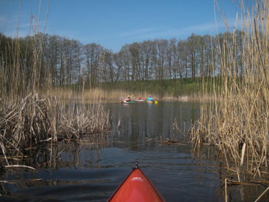
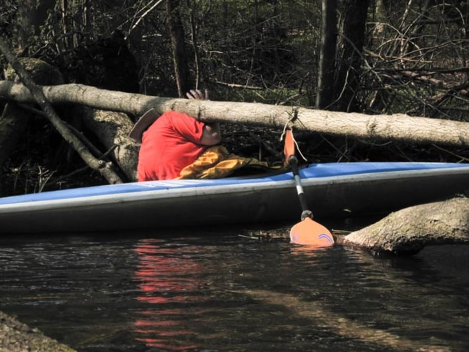
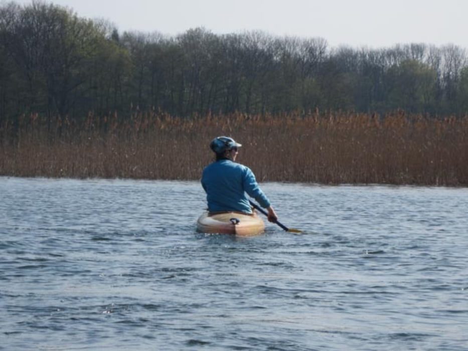
Unglaublich schöne Kajaktour in empfindlicher Naturschutzregion im Wechsel aus Kleinfluß und Großseen. Baumhindernisse blockieren den Weg zum Teil in erheblichem Ausmaß.


Galerija izletov

Zemljevid in višinski profil izleta

  • Open Street Map
  • Google
Minimum height 16 m Maximum height 60 m Prikaz podrobnosti

More about the tour author

sugesei
Member since 2010

Send private message

Komentarji

Nur mit dem Auto machbar.


Poti GPS

Trackpoints
  • GPX / Garmin Map Source (gpx) download
  • TCX / Garmin Training Center® (tcx) download
  • CRS / Garmin Training Center® (crs) download
  • Google Earth (kml) download
  • G7ToWin (g7t) download
  • TTQV (trk) download
  • Overlay (ovl) download
  • Fugawi (txt) download
  • Kompass (DAV) Track (tk) download
  • List z izleti (pdf) download
  • Original file of the author (gpx) download

More about the tour author

sugesei
Member since 2010

Send private message
Share track
Add to my favorites
Remove from my favorites
Edit tags
My score
Rate
Izlet: Mildenitz
Vrsta: Čoln in kanu
Dolžina: 20,5 km
Evaluated on:
Trajanje:
Day(s)
Hour(s)
Minute(s)
Ocena: Pokrajina Dejavnik zabave Kondicija Tehnika