Login

Si pozabil/a podatke za prijavo?

Cookies have to be accepted!
Your browser's cookie functionality is disabled. Please enable this functionality.

Not a member yet?

Register now
Login

Available for registred users only

Log in to use this feature.

Si pozabil/a podatke za prijavo?

Cookies have to be accepted!
Your browser's cookie functionality is disabled. Please enable this functionality.

Not a member yet?

Register now
Filter
Kategorije
Advanced filters
  • Dolžina (km)
  • Metri nadmorske višine
Shrani filter Reset filter

TrackRank

QRCode

Technical data

Dolžina51,9 km Metri nadmorske višine572 m Way down565 m Trajanje03:30 h:m Datum03.10.2015
Ocene Author Pokrajina Dejavnik zabave Kondicija Tehnika

Statistika

322 Pogledi Ocene 36 Prenosi Povprečje
Rate
  • List z izleti
  • Prihod
  • Prenosi

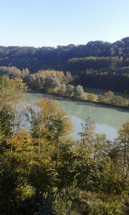
Schöne Tour rechts und links vom Inn. Die Wirtschaft am Soyner See gefällt mir gut, es gibt schöne heimische Fische. Im Sommer kann man auch baden dort, aber zahlen nicht vergessen, sonst könnts Ärger geben


Zemljevid in višinski profil izleta

  • Open Street Map
  • Google
Minimum height 423 m Maximum height 603 m Prikaz podrobnosti

More about the tour author

lichtgestalt
Member since 2008

Send private message

Komentarji

Poti GPS

Trackpoints
  • GPX / Garmin Map Source (gpx) download
  • TCX / Garmin Training Center® (tcx) download
  • CRS / Garmin Training Center® (crs) download
  • Google Earth (kml) download
  • G7ToWin (g7t) download
  • TTQV (trk) download
  • Overlay (ovl) download
  • Fugawi (txt) download
  • Kompass (DAV) Track (tk) download
  • List z izleti (pdf) download
  • Original file of the author (gpx) download

More about the tour author

lichtgestalt
Member since 2008

Send private message
Share track
Add to my favorites
Remove from my favorites
Edit tags
My score
Rate
Izlet: Lago de Soyen
Vrsta: Gorsko kolo
Dolžina: 51,9 km
Evaluated on:
Trajanje:
Day(s)
Hour(s)
Minute(s)
Ocena: Pokrajina Dejavnik zabave Kondicija Tehnika