


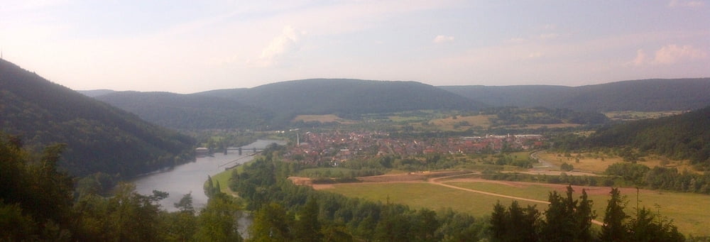
Vom Startpunkt in Faulbach über den Mainhang nach Hasloch und weiter nach Kreuzwertheim. Ins Himmelreich und durch den Bettingbergtunnel: Achtung Licht mitnehmen!!! Im Winter ist der Bettingbergtunnel gesperrt, dann kann man diese Schleife abschneiden.
Über die Schleuse in Eichel nach Wertheim und über die Mainhöhe auf badischer Seite zurück über die Schleuse in Faulbach.
Further information at
https://de.wikipedia.org/wiki/BettingbergtunnelGalerija izletov
Zemljevid in višinski profil izleta
Minimum height 113 m
Maximum height 318 m
More about the tour author

|
grenz-pfad-fahrer |
Komentarji

Startpunkt ist der Parkplatz am Bahnübergang zur Schleuse in Faulbach.
Poti GPS
Trackpoints-
GPX / Garmin Map Source (gpx) download
-
TCX / Garmin Training Center® (tcx) download
-
CRS / Garmin Training Center® (crs) download
-
Google Earth (kml) download
-
G7ToWin (g7t) download
-
TTQV (trk) download
-
Overlay (ovl) download
-
Fugawi (txt) download
-
Kompass (DAV) Track (tk) download
-
List z izleti (pdf) download
-
Original file of the author (gpx) download
More about the tour author
|
|
grenz-pfad-fahrer |
Add to my favorites
Remove from my favorites
Edit tags
Open track
My score
Rate