
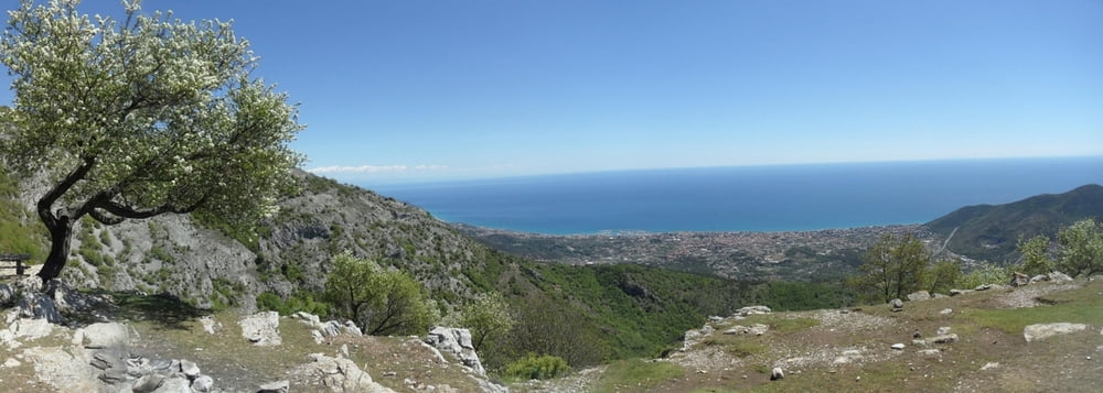

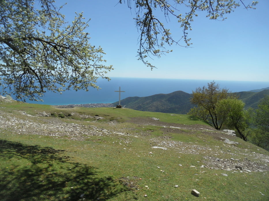
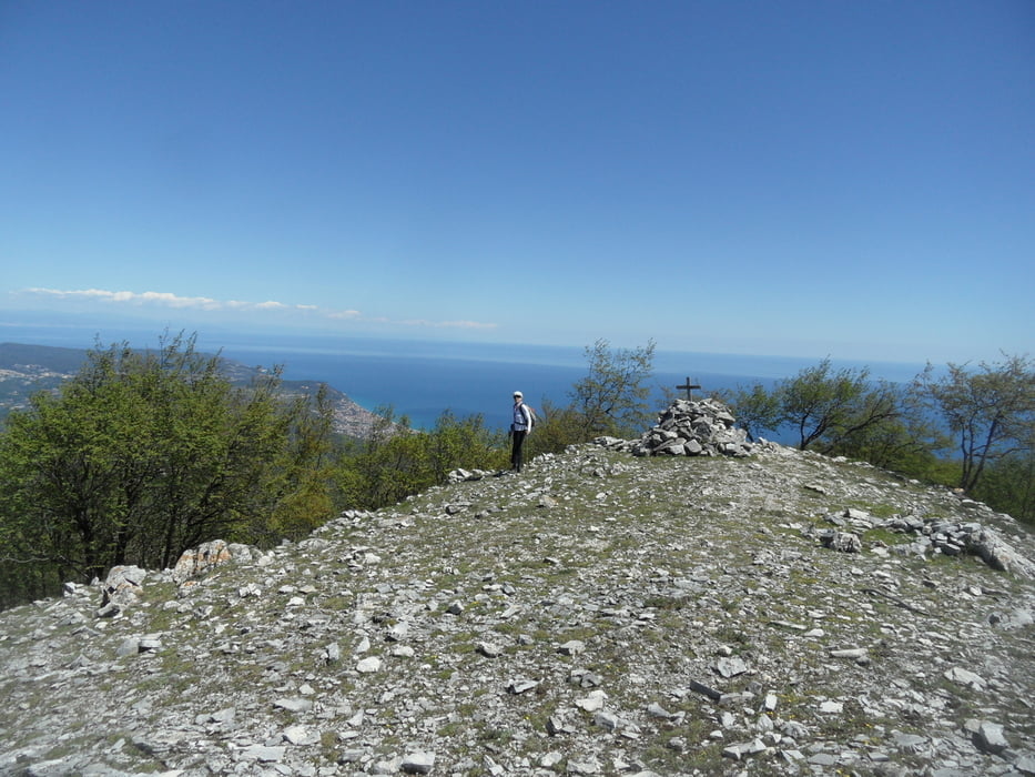
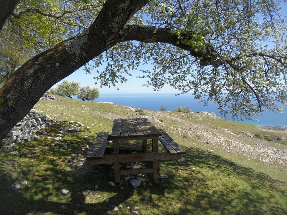
Wandertour über das alte Kloster San Pietro und Mt. Ravient zum Mt. Carmo.
Schöne Wandertour mit Aussicht, schön zu jeder Jahreszeit.
Einzig schwierig war die fehlende Markierung vom Mt. Ravient hinunter zum Querweg Richtung Mt. Carmo. Wir haben eine Weile gesucht und sind dann am Gipfel etwas rechts vom Gipfel (Richtung Finale schauend) hinunter. Der in OSM eingezeichnete Weg ist nicht zu finden. Hier auf jeden Fall den GPS-Track anschauen. Der Weg lt. OSM ist in Wegpunkten markiert, es geht um eine Höhendiifferenz von ca. 50m bis unten der Weg quer kommt.
Galerija izletov

Zemljevid in višinski profil izleta
Minimum height 769 m
Maximum height 1395 m
More about the tour author
|
|
skyhopper |
Komentarji

parken am Pass GIOGO DI TOIRANO (Strecke Loano-Toirano-GIOGO DI TOIRANO-Bardineto-Callizzano.
Poti GPS
Trackpoints-
GPX / Garmin Map Source (gpx) download
-
TCX / Garmin Training Center® (tcx) download
-
CRS / Garmin Training Center® (crs) download
-
Google Earth (kml) download
-
G7ToWin (g7t) download
-
TTQV (trk) download
-
Overlay (ovl) download
-
Fugawi (txt) download
-
Kompass (DAV) Track (tk) download
-
List z izleti (pdf) download
-
Original file of the author (gpx) download
More about the tour author
|
|
skyhopper |
Add to my favorites
Remove from my favorites
Edit tags
Open track
My score
Rate