


Von Homburg Schwarzenbach durch das Blies- und Taubental nach Kirkel-Neuhäusel.
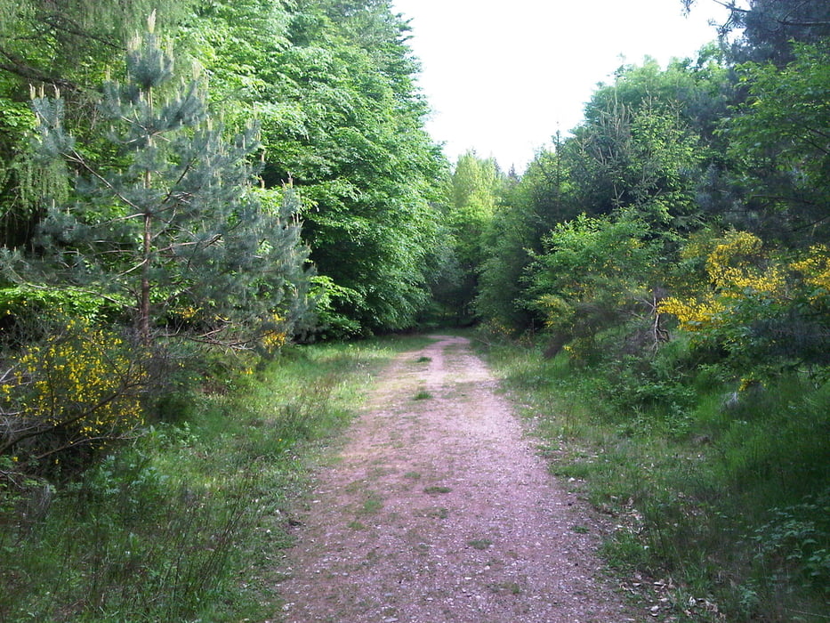
Nach meinem Tagwerk radelte ich zuerst am Wasserfelsen und dem Waldklassenzimmer vorbei zur Schönen Aussicht bei dem Hollerstein.
Anschließend rollte ich auf den Forstwegen in das Taubental hinab und wieder hoch auf den Taubenpass. Dort bog ich nach rechts ab und fuhr über den Hohen Kopf und den Gengelsberg. Ich querte das Taubental und radelte fast auf die Höhe des Klosterberges, bog aber vorher nach rechts ab und fuhr am Hang entlang um dann zu Dietmers Hütte hinunterzurollen.
Es folgte der Anstieg zu den 7 Fichten und die Abfahrt nach Bierbach an der Blies. Noch hatte ich nicht genug und fuhr deshalb auf den Schucht hoch und über den Klosterberg nach Wörschweiler hinunter und zurück zum Ausgangspunkt.
War schön.
Further information at
https://de.wikipedia.org/wiki/Saarpfalz-KreisGalerija izletov


Zemljevid in višinski profil izleta
Minimum height 228 m
Maximum height 379 m
More about the tour author
|
|
Pheinz |
Komentarji

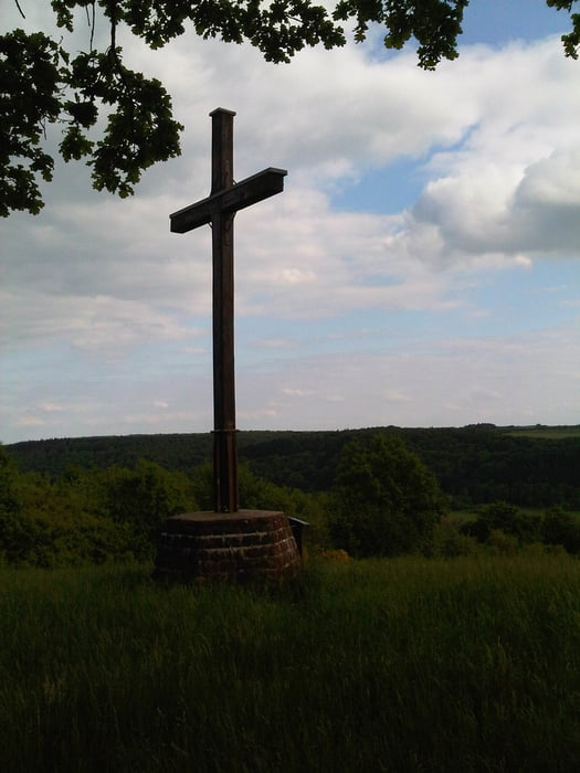
Start und Ziel in Homburg Schwarzenbach.
Poti GPS
Trackpoints-
GPX / Garmin Map Source (gpx) download
-
TCX / Garmin Training Center® (tcx) download
-
CRS / Garmin Training Center® (crs) download
-
Google Earth (kml) download
-
G7ToWin (g7t) download
-
TTQV (trk) download
-
Overlay (ovl) download
-
Fugawi (txt) download
-
Kompass (DAV) Track (tk) download
-
List z izleti (pdf) download
-
Original file of the author (gpx) download
More about the tour author
|
|
Pheinz |
Add to my favorites
Remove from my favorites
Edit tags
Open track
My score
Rate