


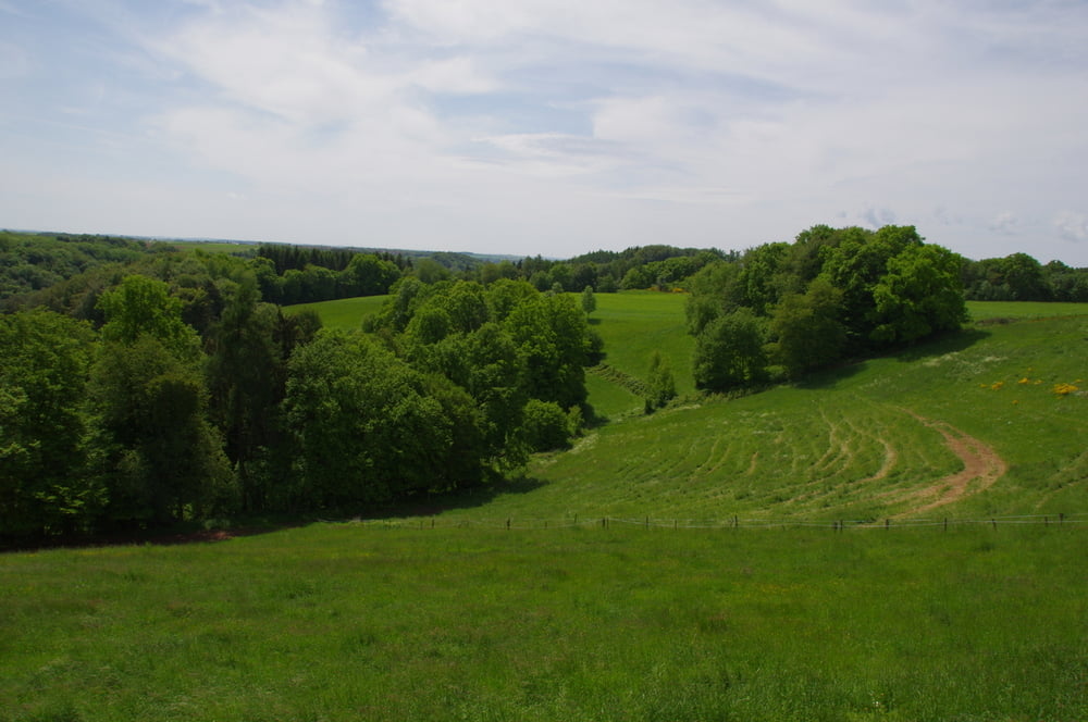
Von Homburg Schwarzenbach einfach nach Schwarzenacker hinunterrollen und dort nach links in das Lambsbachtal einbiegen. Das Lambsbachtal über Kirrberg hinaus verfolgen und an der kleinen steinernen Brück nach rechts abbiegen und die knackige Steigung auf dem asphaltierten Sträßchen nach Käshofen hochradeln.
Ich blieb auf der Straße bis fast nach Rosenkopf, dann bewegte ich mich rechts und links der Straße nach Martinshöhe von wo ichauf dem Feldweg nach Labach hinunterrollte.
Der weitere Weg führte mich über Wallhalben immer auf dem Mühlenweg an der Kneispermühle vorbei in das Schwarzbachtal das ich anschließend nach Zweibrücken verfolgte.
Von dort war es dann nicht mehr weit bis zu meinem Ausgangspunkt.
Further information at
https://de.wikipedia.org/wiki/Landkreis_S%C3%BCdwestpfalzGalerija izletov

Zemljevid in višinski profil izleta
Minimum height 226 m
Maximum height 432 m
More about the tour author
|
|
Pheinz |
Komentarji

Start und Ziel in Homburg Schwarzenbach.
Poti GPS
Trackpoints-
GPX / Garmin Map Source (gpx) download
-
TCX / Garmin Training Center® (tcx) download
-
CRS / Garmin Training Center® (crs) download
-
Google Earth (kml) download
-
G7ToWin (g7t) download
-
TTQV (trk) download
-
Overlay (ovl) download
-
Fugawi (txt) download
-
Kompass (DAV) Track (tk) download
-
List z izleti (pdf) download
-
Original file of the author (gpx) download
More about the tour author
|
|
Pheinz |
Add to my favorites
Remove from my favorites
Edit tags
Open track
My score
Rate