


Ich radelte auf meiner Lieblingsstrecke von Homburg Schwarzenbach nach Kirkel Neuhäusel.
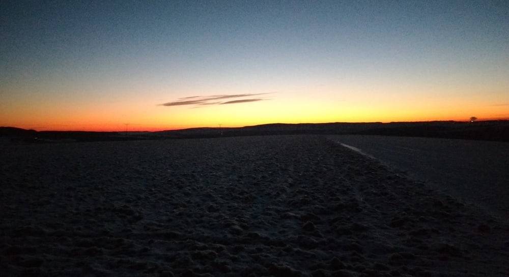
Am Abend radelte ich durch Neuhäusel und das Kirkeler Tal nach Lautzkirchen und Blieskastel nach Webenheim. Von dort fuhr ich das vereiste Sträßchen auf die Höhe über Wattweiler hoch um den Ort großzügig zu umgehen. Durch den Wald erreichte ich die Straße nach Zweibrücken die ich dann bei eisigen Temperaturen abfuhr.
Ich schlängelte mich durch Zweibrück und erreichte den GLOBUS um meine Versorgung sichzustellen.
Den letzten Rest bis zu meinem Ausgangspunkt legte ich in Tallage zurück.
Further information at
https://de.wikipedia.org/wiki/BliesgauGalerija izletov
Zemljevid in višinski profil izleta
Minimum height 215 m
Maximum height 358 m
More about the tour author
|
|
Pheinz |
Komentarji

Start und Ziel in Homburg Schwarzenbach.
Poti GPS
Trackpoints-
GPX / Garmin Map Source (gpx) download
-
TCX / Garmin Training Center® (tcx) download
-
CRS / Garmin Training Center® (crs) download
-
Google Earth (kml) download
-
G7ToWin (g7t) download
-
TTQV (trk) download
-
Overlay (ovl) download
-
Fugawi (txt) download
-
Kompass (DAV) Track (tk) download
-
List z izleti (pdf) download
-
Original file of the author (gpx) download
More about the tour author
|
|
Pheinz |
Add to my favorites
Remove from my favorites
Edit tags
Open track
My score
Rate