


Ich radelte auf meiner Lieblingsstrecke von Homburg Schwarzenbach nach Kirkel Neuhäusel.
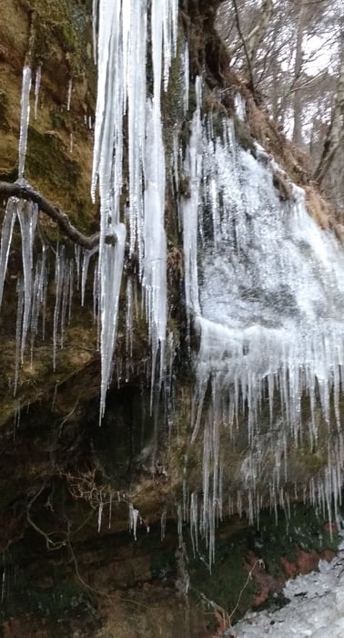
Am Abend fuhr ich auf einem mir wohlbekannten Weg am Wasserfelsen bergan und fuhr über die 7 Fichten durch das Waldgebiet. Ich wndete mich in Richtung Bierbach an der Blies, hielt mich aber kurz darauf links um den Ort oberhalb zu umfahren. Wegen des vereisten Waldweges wurde dies zu einer diffizilen Angelegenheit. Wegen der montierten Spikes knallte ich nur einmal auf das Eis. Die Abfahrt fuhr ich vorsichtig ab und erreichte Bierbach auf der Straße.
Den restlichen Rückweg durch das Bliestal fuhr ich auf dem schönen Radweg im Tal.
Further information at
http://www.blieskastel-bierbach.de/Galerija izletov
Zemljevid in višinski profil izleta
Minimum height 219 m
Maximum height 378 m
More about the tour author
|
|
Pheinz |
Komentarji

Start und Ziel in Homburg Schwarzenbach.
Poti GPS
Trackpoints-
GPX / Garmin Map Source (gpx) download
-
TCX / Garmin Training Center® (tcx) download
-
CRS / Garmin Training Center® (crs) download
-
Google Earth (kml) download
-
G7ToWin (g7t) download
-
TTQV (trk) download
-
Overlay (ovl) download
-
Fugawi (txt) download
-
Kompass (DAV) Track (tk) download
-
List z izleti (pdf) download
-
Original file of the author (gpx) download
More about the tour author
|
|
Pheinz |
Add to my favorites
Remove from my favorites
Edit tags
Open track
My score
Rate