


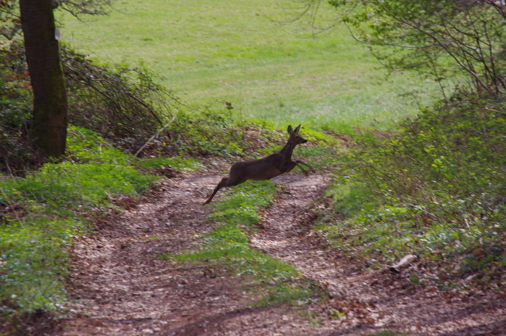
Ich wanderte auf dem Radweg wenige Meter bis zu dem vermeintlichen Weg durch das Naturschutzgebiet der Bliestalau. Leider endet der Weg auf einer feuchten Wiese. Das hinderte mich nicht daran am Ufer der Blies weiterzugehen. Am nächsten Bachlauf war Schluss und ich suchte mir eine Furt um auf den Radweg nach Blickweiler zu gelangen.
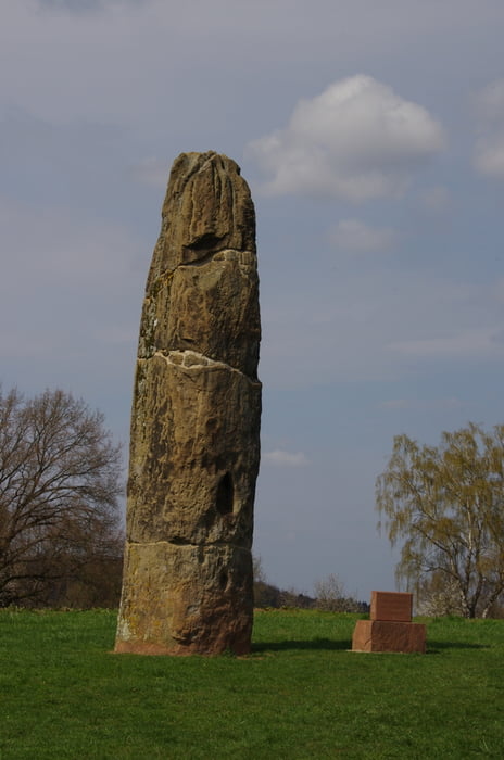
In Blickweiler angekommen suchte ich mir einen Weg auf den Kommandantenberg und von dort durch das Neubaugebiet zum Gollenstein.
Ich dachte weiterhin, dass ich einen Weg über den Sporn nach Lautzkirchen finden würde. Ich fand eine nicht ratsame Möglichkeit die nicht zu empfehlen ist.
Durch Lautzkirchen erreichte ich die Altstadt von Blieskastel und den Ausgangspunkt.
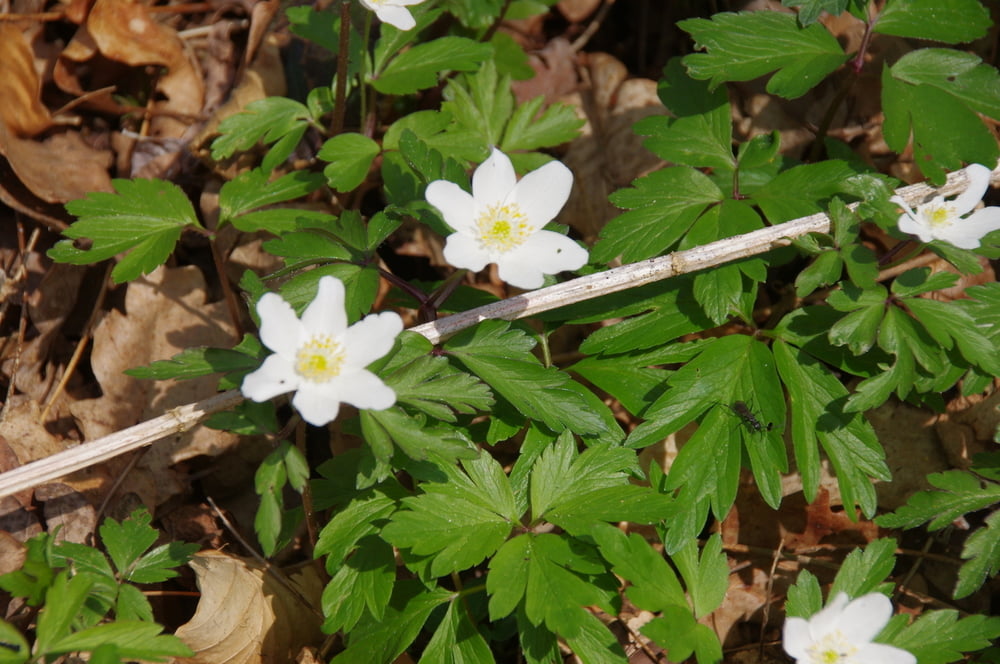
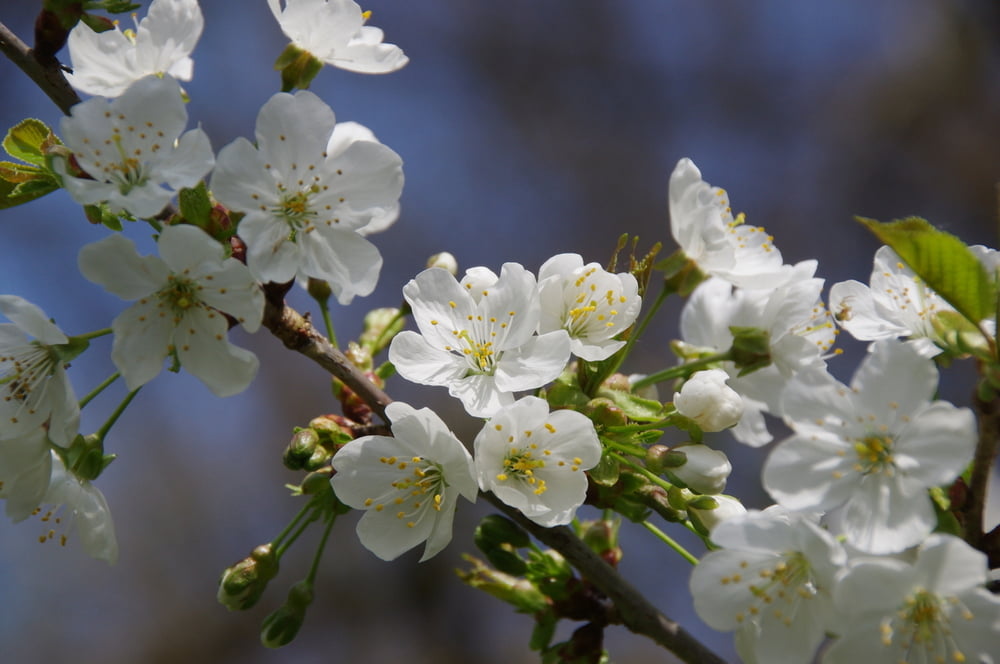
Es war ein schöner Tag.
Further information at
https://de.wikipedia.org/wiki/BliesgauGalerija izletov
Zemljevid in višinski profil izleta
Minimum height 201 m
Maximum height 334 m
More about the tour author
|
|
Pheinz |
Komentarji

Start und Ziel auf dem großen Parkplatz in Blieskastel.
Poti GPS
Trackpoints-
GPX / Garmin Map Source (gpx) download
-
TCX / Garmin Training Center® (tcx) download
-
CRS / Garmin Training Center® (crs) download
-
Google Earth (kml) download
-
G7ToWin (g7t) download
-
TTQV (trk) download
-
Overlay (ovl) download
-
Fugawi (txt) download
-
Kompass (DAV) Track (tk) download
-
List z izleti (pdf) download
-
Original file of the author (gpx) download
More about the tour author
|
|
Pheinz |
Add to my favorites
Remove from my favorites
Edit tags
Open track
My score
Rate