


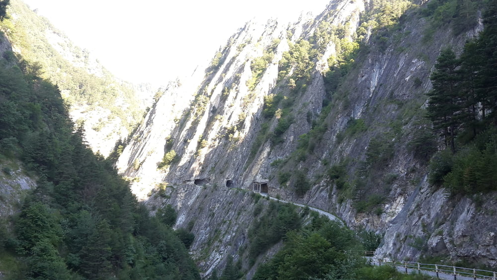
MTB-Tour durch die geniale Schlucht von Elva( alles auf eigene Gefahr) da die Straße Steinschlag gefährdet ist. Vorher informieren ob die Straße auch geöffnet ist.
Und unbedingt im Rifugio La Sousto del Col einkehren.
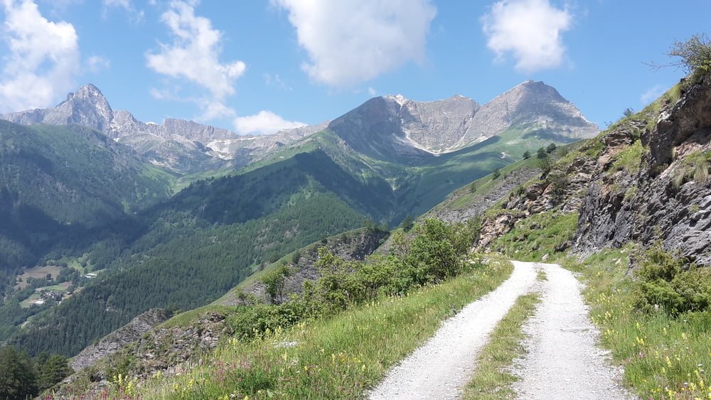
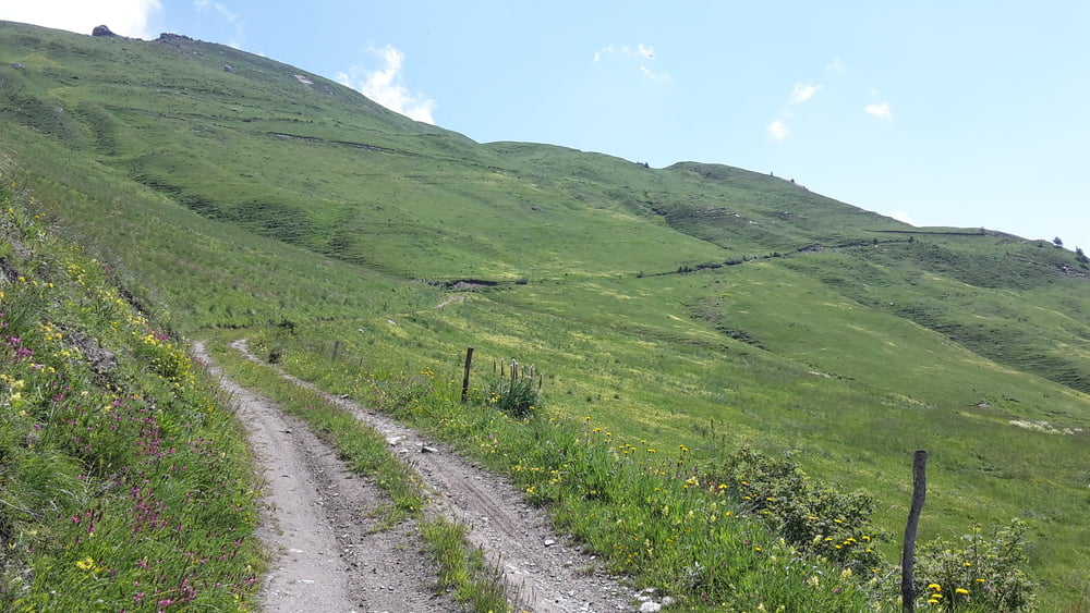
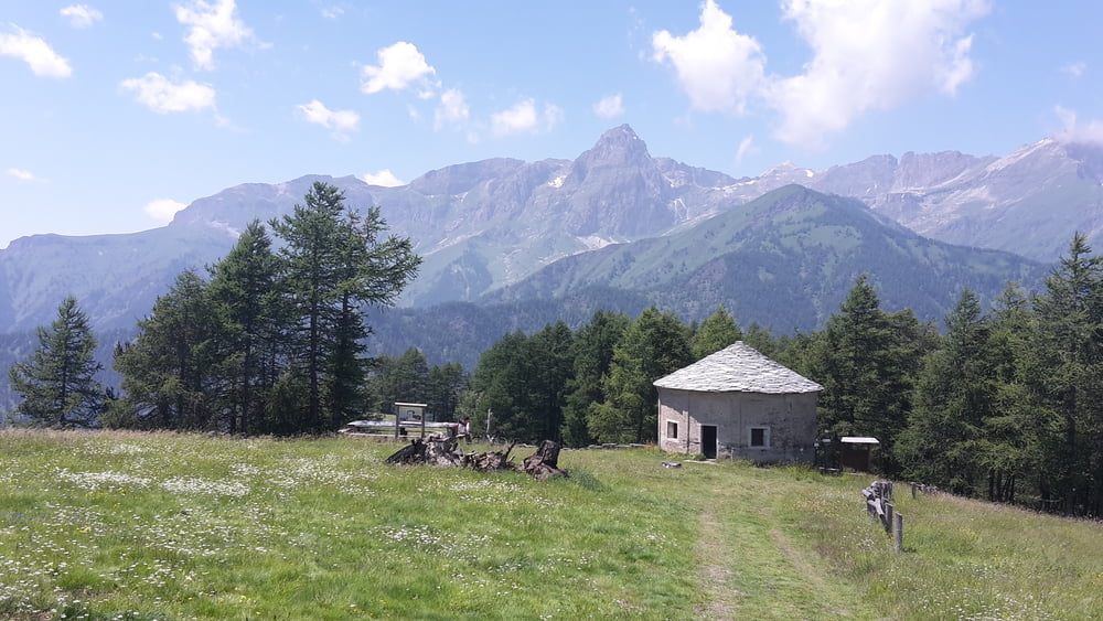
Galerija izletov
Zemljevid in višinski profil izleta
Minimum height 939 m
Maximum height 2244 m
More about the tour author
|
|
eder_m |
Komentarji

Poti GPS
Trackpoints-
GPX / Garmin Map Source (gpx) download
-
TCX / Garmin Training Center® (tcx) download
-
CRS / Garmin Training Center® (crs) download
-
Google Earth (kml) download
-
G7ToWin (g7t) download
-
TTQV (trk) download
-
Overlay (ovl) download
-
Fugawi (txt) download
-
Kompass (DAV) Track (tk) download
-
List z izleti (pdf) download
-
Original file of the author (gpx) download
More about the tour author
|
|
eder_m |
Add to my favorites
Remove from my favorites
Edit tags
Open track
My score
Rate