


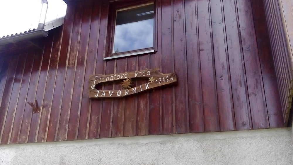
Planina-Lohaca-Hrusica-Pirnatova Koca-Bela-Gorenja Trebusa-
Postaja-Most na Soci
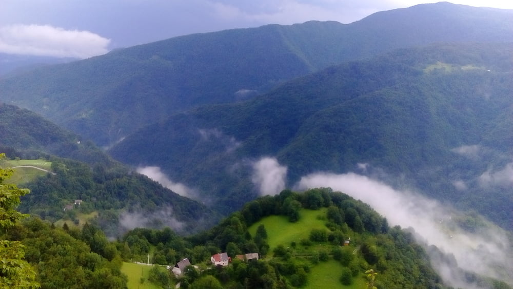
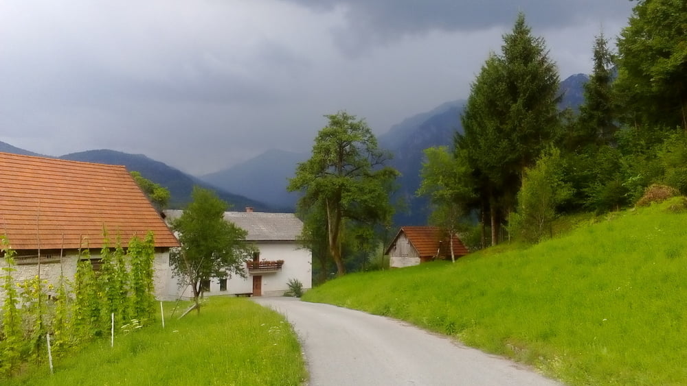
Fast durchwegs angenehm fahrbar, wenn auch der Schotter tief war nach den zwei Gewittern mit Hagel. Nur die Umfahrung von Crni Vrh ist heftig und nicht notwendig. Auf der Straße würde man sich Geschiebe, Nerven und wohl 45' sparen. Letzter Anstieg vor Postaja ist eine öffentliche Schotterstraße - sehr schön, tw durch die Felsen geschlagen. In Tolmin findet gerade das Festival "Metaldays" statt, daher gestaltet sich die Quartiersuche schwierig.
Quartier: Hotel Luzija NF 55 €, gut.
https://lucija-most-na-soci-si.book.direct/de-de/contact
Galerija izletov
Zemljevid in višinski profil izleta
Minimum height 203 m
Maximum height 1167 m
More about the tour author
|
|
mitter |
Komentarji

Start in Planina bei der Kirche.
Poti GPS
Trackpoints-
GPX / Garmin Map Source (gpx) download
-
TCX / Garmin Training Center® (tcx) download
-
CRS / Garmin Training Center® (crs) download
-
Google Earth (kml) download
-
G7ToWin (g7t) download
-
TTQV (trk) download
-
Overlay (ovl) download
-
Fugawi (txt) download
-
Kompass (DAV) Track (tk) download
-
List z izleti (pdf) download
-
Original file of the author (gpx) download
More about the tour author
|
|
mitter |
Add to my favorites
Remove from my favorites
Edit tags
Open track
My score
Rate