Login

Si pozabil/a podatke za prijavo?

Cookies have to be accepted!
Your browser's cookie functionality is disabled. Please enable this functionality.

Not a member yet?

Register now
Login

Available for registred users only

Log in to use this feature.

Si pozabil/a podatke za prijavo?

Cookies have to be accepted!
Your browser's cookie functionality is disabled. Please enable this functionality.

Not a member yet?

Register now
Filter
Kategorije
Advanced filters
  • Dolžina (km)
  • Metri nadmorske višine
Shrani filter Reset filter

TrackRank

QRCode

Technical data

Dolžina91,0 km Metri nadmorske višine2015 m Way down2067 m Trajanje00:00 h:m Datum13.08.2018
Ocene Author Pokrajina Dejavnik zabave Kondicija Tehnika

Statistika

558 Pogledi Ocene 60 Prenosi Povprečje
Rate
  • List z izleti
  • Prihod
  • Prenosi
Ab Bahnhof Appenzell, Lemen, Schwägalp, Risipass (1459), Gräppelensee, Wildhaus, Gams, Salez, Rüthi, Oberriet, Appenzell
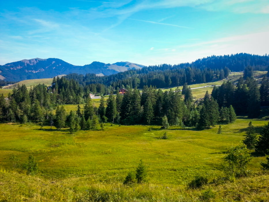
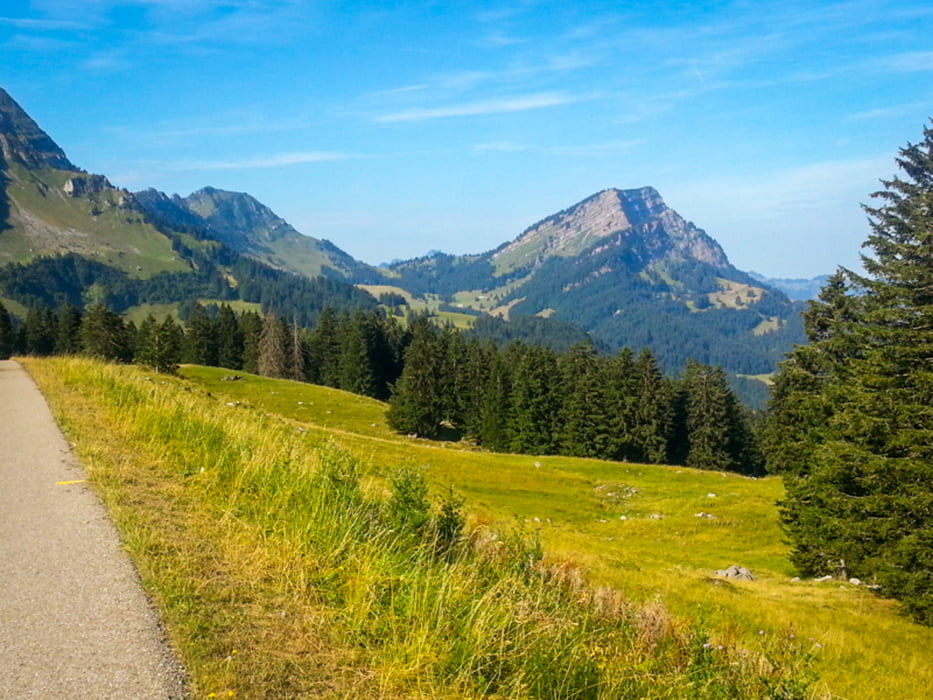
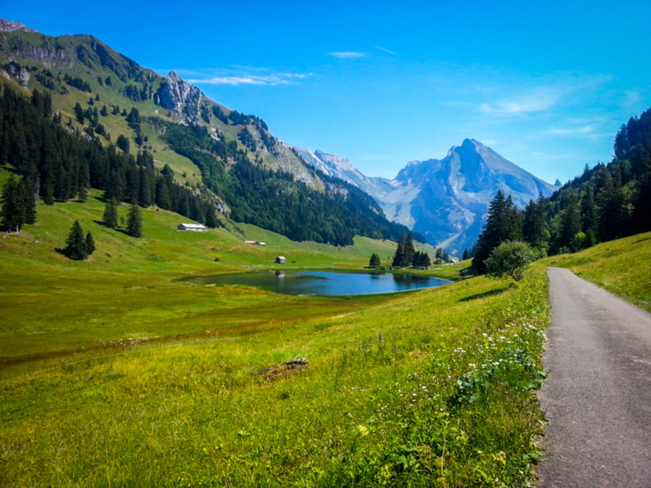
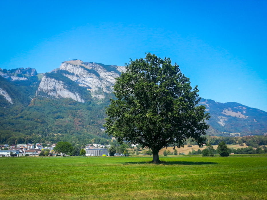
Galerija izletov

Zemljevid in višinski profil izleta

  • Open Street Map
  • Google
Minimum height 418 m Maximum height 1450 m Prikaz podrobnosti

More about the tour author

Womotour
Member since 2016

Send private message

Komentarji

Poti GPS

Trackpoints
  • GPX / Garmin Map Source (gpx) download
  • TCX / Garmin Training Center® (tcx) download
  • CRS / Garmin Training Center® (crs) download
  • Google Earth (kml) download
  • G7ToWin (g7t) download
  • TTQV (trk) download
  • Overlay (ovl) download
  • Fugawi (txt) download
  • Kompass (DAV) Track (tk) download
  • List z izleti (pdf) download
  • Original file of the author (gpx) download

More about the tour author

Womotour
Member since 2016

Send private message
Share track
Add to my favorites
Remove from my favorites
Edit tags
My score
Rate
Izlet: Mit dem E-Bike um den Säntis
Vrsta: Gorsko kolo
Dolžina: 91,0 km
Evaluated on:
Trajanje:
Day(s)
Hour(s)
Minute(s)
Ocena: Pokrajina Dejavnik zabave Kondicija Tehnika