Login

Si pozabil/a podatke za prijavo?

Cookies have to be accepted!
Your browser's cookie functionality is disabled. Please enable this functionality.

Not a member yet?

Register now
Login

Available for registred users only

Log in to use this feature.

Si pozabil/a podatke za prijavo?

Cookies have to be accepted!
Your browser's cookie functionality is disabled. Please enable this functionality.

Not a member yet?

Register now
Filter
Kategorije
Advanced filters
  • Dolžina (km)
  • Metri nadmorske višine
Shrani filter Reset filter

TrackRank

QRCode

Technical data

Dolžina47,6 km Metri nadmorske višine784 m Way down789 m Trajanje03:30 h:m Datum30.09.2018
Ocene Author Pokrajina Dejavnik zabave Kondicija Tehnika

Statistika

219 Pogledi Ocene 13 Prenosi Povprečje
Rate
  • List z izleti
  • Prihod
  • Prenosi

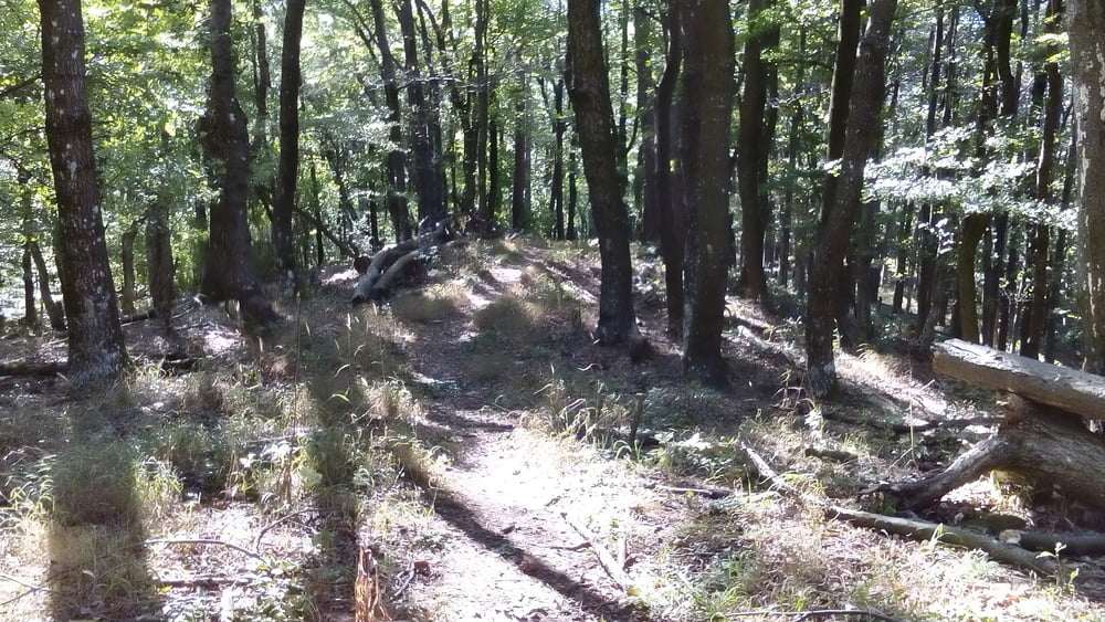
Schöne Runde von Wien aus.

Ein paar zusätzliche trails, die um diese Jahreszeit (Herbst, trocken) sehr gut zu fahren sind.

Galerija izletov

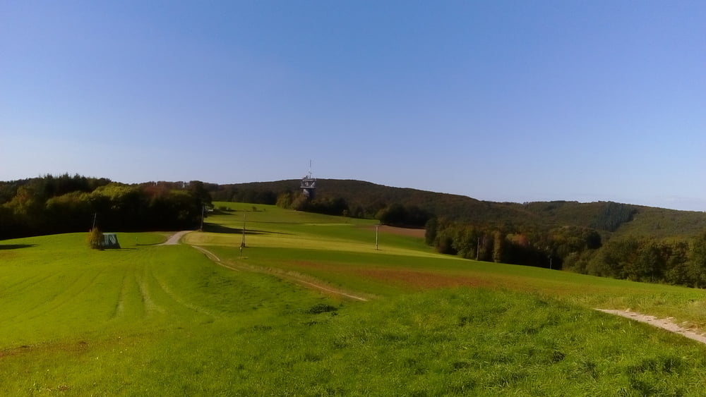
Zemljevid in višinski profil izleta

  • Open Street Map
  • Google
Minimum height 193 m Maximum height 618 m Prikaz podrobnosti

More about the tour author

mitter
Member since 2008

Send private message

Komentarji

Start in Meidling Nähe Bahnhof.

Poti GPS

Trackpoints
  • GPX / Garmin Map Source (gpx) download
  • TCX / Garmin Training Center® (tcx) download
  • CRS / Garmin Training Center® (crs) download
  • Google Earth (kml) download
  • G7ToWin (g7t) download
  • TTQV (trk) download
  • Overlay (ovl) download
  • Fugawi (txt) download
  • Kompass (DAV) Track (tk) download
  • List z izleti (pdf) download
  • Original file of the author (gpx) download

More about the tour author

mitter
Member since 2008

Send private message
Share track
Add to my favorites
Remove from my favorites
Edit tags
My score
Rate
Izlet: Kaltenleutgeben trails 180929
Vrsta: Gorsko kolo
Dolžina: 47,6 km
Evaluated on:
Trajanje:
Day(s)
Hour(s)
Minute(s)
Ocena: Pokrajina Dejavnik zabave Kondicija Tehnika