Login

Si pozabil/a podatke za prijavo?

Cookies have to be accepted!
Your browser's cookie functionality is disabled. Please enable this functionality.

Not a member yet?

Register now
Login

Available for registred users only

Log in to use this feature.

Si pozabil/a podatke za prijavo?

Cookies have to be accepted!
Your browser's cookie functionality is disabled. Please enable this functionality.

Not a member yet?

Register now
Filter
Kategorije
Advanced filters
  • Dolžina (km)
  • Metri nadmorske višine
Shrani filter Reset filter

TrackRank

QRCode

Technical data

Dolžina70,3 km Metri nadmorske višine1390 m Way down1371 m Trajanje05:04 h:m Datum04.11.2018
Ocene Author Pokrajina Dejavnik zabave Kondicija Tehnika

Statistika

191 Pogledi Ocene 14 Prenosi Povprečje
Rate
  • List z izleti
  • Prihod
  • Prenosi
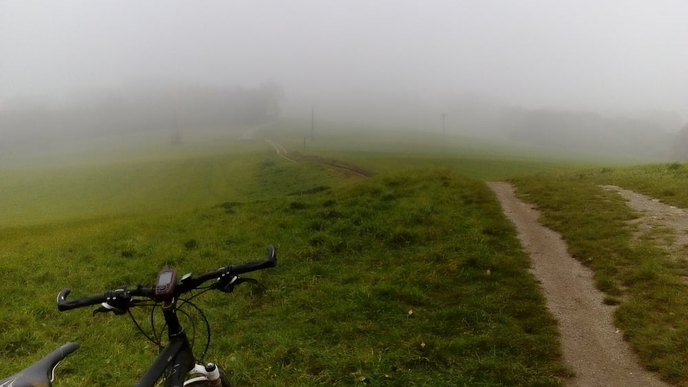
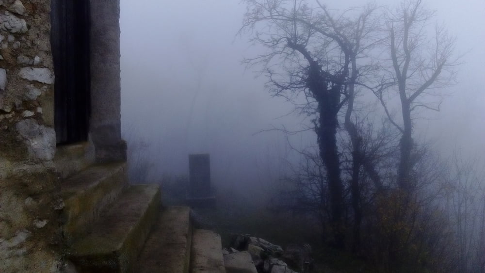
Der Jahreszeit entsprechend feuchtes, nebeliges Klima, in Bewegung bleiben, war die Devise!  Sehr lässige Runde!

Galerija izletov

Zemljevid in višinski profil izleta

  • Open Street Map
  • Google
Minimum height 193 m Maximum height 686 m Prikaz podrobnosti

More about the tour author

mitter
Member since 2008

Send private message

Komentarji

Start in Meidling beim Bahnhof.

Poti GPS

Trackpoints
  • GPX / Garmin Map Source (gpx) download
  • TCX / Garmin Training Center® (tcx) download
  • CRS / Garmin Training Center® (crs) download
  • Google Earth (kml) download
  • G7ToWin (g7t) download
  • TTQV (trk) download
  • Overlay (ovl) download
  • Fugawi (txt) download
  • Kompass (DAV) Track (tk) download
  • List z izleti (pdf) download
  • Original file of the author (gpx) download

More about the tour author

mitter
Member since 2008

Send private message
Share track
Add to my favorites
Remove from my favorites
Edit tags
My score
Rate
Izlet: coole Anningerrunde 181104
Vrsta: Gorsko kolo
Dolžina: 70,3 km
Evaluated on:
Trajanje:
Day(s)
Hour(s)
Minute(s)
Ocena: Pokrajina Dejavnik zabave Kondicija Tehnika