


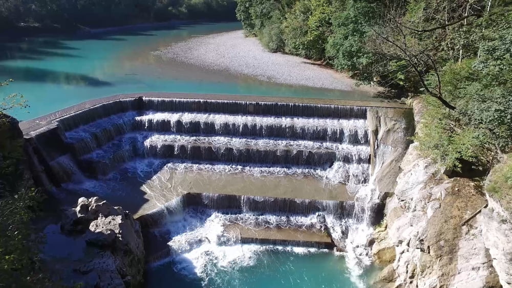
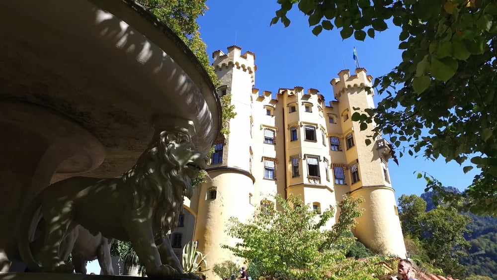
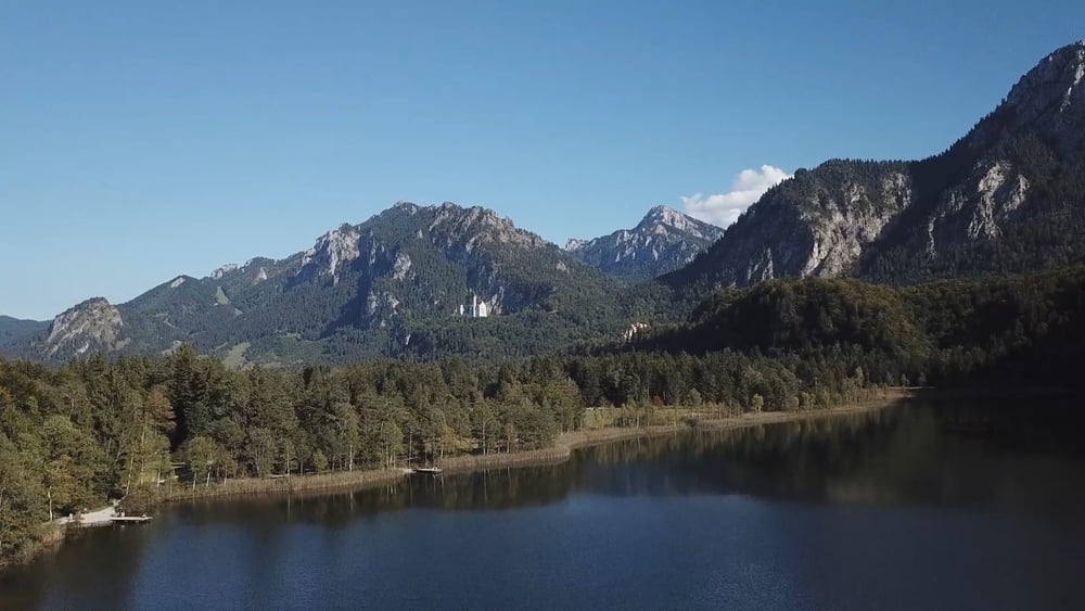
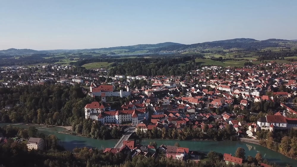
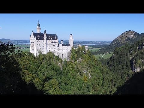
Wir starten unsere drei Schlössertour vom Bahnhof in Füssen, durchqueren die Altstadt und erreichen den Lech. An der Tirolerstraße vorbei kommen wir dann zum Lechfall. Unmittelbar hinter dem Walderlebniszentrum geht es endlich in den Wald. Nach einem kurzen aber heftigen Anstieg verläuft die weitere Tour ohne größeren Höhenunterschied zum Schloss Hohenschwangau. Nach einem erneut steilen Aufstieg zum Schloss Neuschwanstein, sollte es ursprünglich durch die Pöllachtschlucht erneut an Hohen Schwangau vorbei zum Schwanensee gehen. Zum Gipfel des Kalvarienbergs, geht es erneut steil Bergan. Von hier sehen wir unser Ziel den Bahnhof von Füssen den wir vorbei an den Kreuzwegstationen erreichen werden.
Galerija izletov
Zemljevid in višinski profil izleta
Minimum height 788 m
Maximum height 984 m
More about the tour author
|
|
schleidy |
Komentarji

Poti GPS
Trackpoints-
GPX / Garmin Map Source (gpx) download
-
TCX / Garmin Training Center® (tcx) download
-
CRS / Garmin Training Center® (crs) download
-
Google Earth (kml) download
-
G7ToWin (g7t) download
-
TTQV (trk) download
-
Overlay (ovl) download
-
Fugawi (txt) download
-
Kompass (DAV) Track (tk) download
-
List z izleti (pdf) download
-
Original file of the author (gpx) download
More about the tour author
|
|
schleidy |
Add to my favorites
Remove from my favorites
Edit tags
Open track
My score
Rate