Login

Si pozabil/a podatke za prijavo?

Cookies have to be accepted!
Your browser's cookie functionality is disabled. Please enable this functionality.

Not a member yet?

Register now
Login

Available for registred users only

Log in to use this feature.

Si pozabil/a podatke za prijavo?

Cookies have to be accepted!
Your browser's cookie functionality is disabled. Please enable this functionality.

Not a member yet?

Register now
Filter
Kategorije
Advanced filters
  • Dolžina (km)
  • Metri nadmorske višine
Shrani filter Reset filter

TrackRank

QRCode

Technical data

Dolžina10,9 km Metri nadmorske višine741 m Way down737 m Trajanje04:00 h:m Datum06.10.2018
Ocene Author Pokrajina Dejavnik zabave Kondicija Tehnika

Statistika

568 Pogledi Ocene 68 Prenosi Povprečje
Rate
  • List z izleti
  • Prihod
  • Prenosi
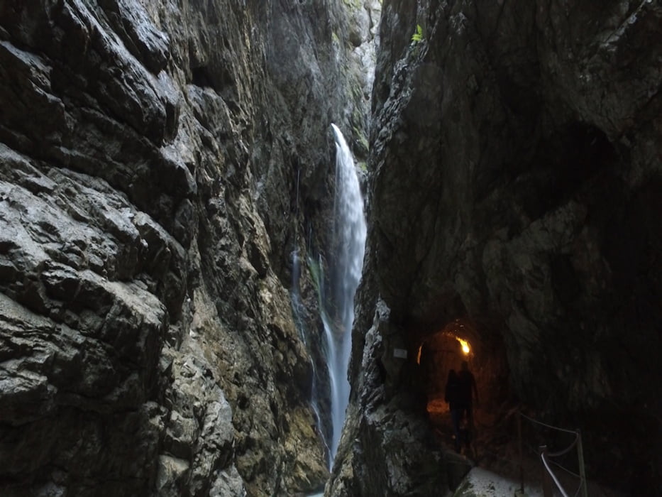
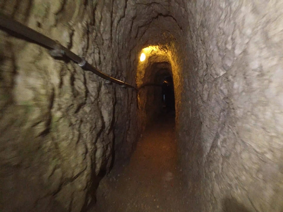
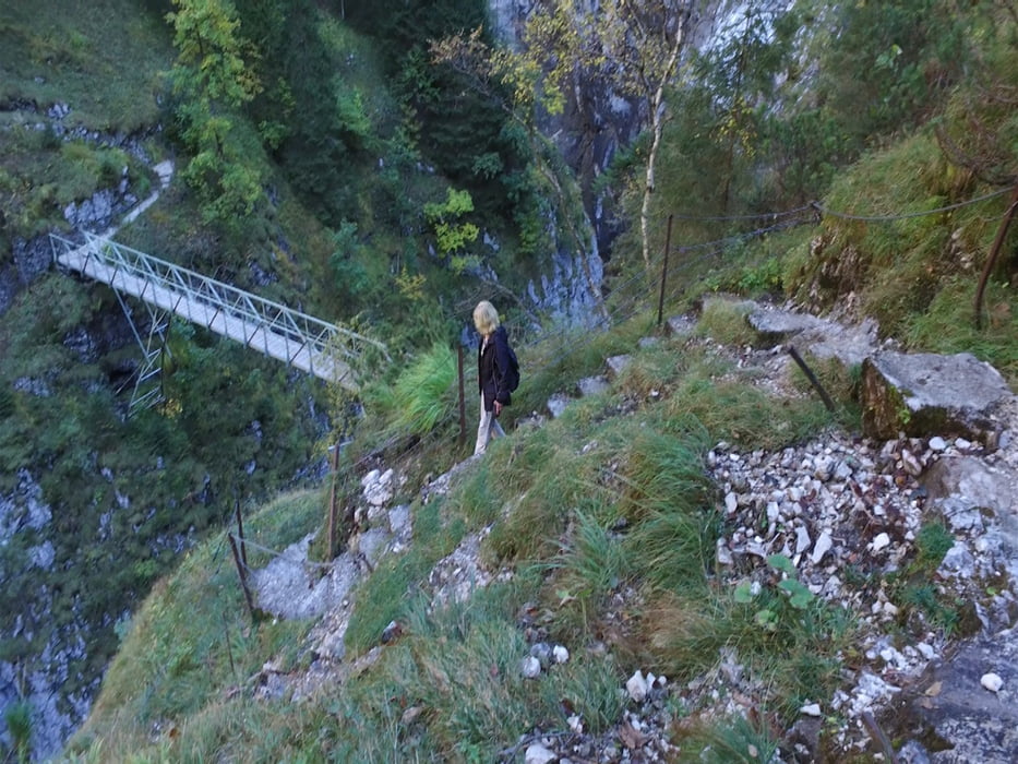
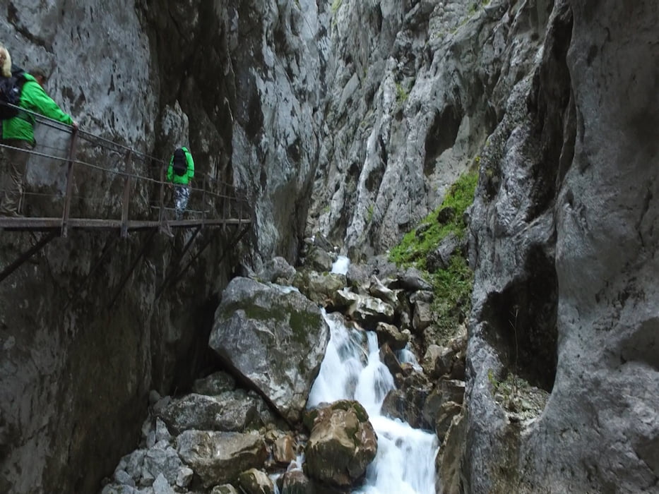
Die Wanderung durch die Höllentalklamm ist eine Rundwanderung. Über einen langen Aufstieg gelangt man zur Hütte vor der Schlucht. Nach dem endrichten eines Eintrittsgeldes gehen wir durch die beeindruckende Klamm. Den Rückweg haben wir über den Stangensteig gewählt und gehen somit oberhalb der Klamm. Kurz vor der Höllentaleingangs Hütte gelangen wir auf den uns bekannten Weg ins Tal.

Galerija izletov

Zemljevid in višinski profil izleta

  • Open Street Map
  • Google
Minimum height 774 m Maximum height 1389 m Prikaz podrobnosti

More about the tour author

schleidy
Member since 2013

Send private message

Komentarji

Poti GPS

Trackpoints
  • GPX / Garmin Map Source (gpx) download
  • TCX / Garmin Training Center® (tcx) download
  • CRS / Garmin Training Center® (crs) download
  • Google Earth (kml) download
  • G7ToWin (g7t) download
  • TTQV (trk) download
  • Overlay (ovl) download
  • Fugawi (txt) download
  • Kompass (DAV) Track (tk) download
  • List z izleti (pdf) download
  • Original file of the author (gpx) download

More about the tour author

schleidy
Member since 2013

Send private message
Share track
Add to my favorites
Remove from my favorites
Edit tags
My score
Rate
Izlet: Höllentalklamm und Stangensteig
Vrsta: Pešačenje
Dolžina: 10,9 km
Evaluated on:
Trajanje:
Day(s)
Hour(s)
Minute(s)
Ocena: Pokrajina Dejavnik zabave Kondicija Tehnika