


Von Arco am Gardasee fahren wir verkehrsberuhigt auf Güterwegen Radwegen und Schotterstraßen bis nach Nago.
Von Nago auf Radweg vorbei am Lago di Loppio bis zum Kreisverkehr in Loppio.
Kurz nach dem Kreisverkehr rechts hinunter und auf schönem Singletrail und später Asphalt bis in die Ortschaft Sano.
Gastione wird durchquert und auf Asphalt fahren wir hoch in die Ortschaft Brentonico. Weiter auf der Provinzstraße Sp218 nach Prada und weiter serpentinenartig nach Polsa.
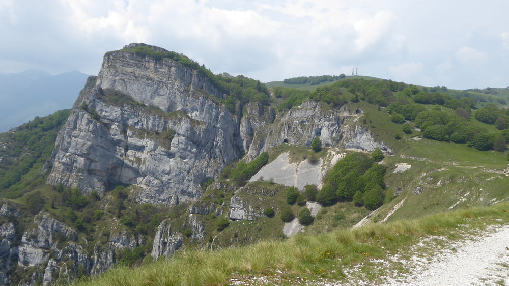
Oberhalb von Polsa verlassen wir das Asphaltband und hinter dem Campingplatz geht es auf breitem Schotterweg hinauf zum Postemon und weiter zum Boccetta dÁrdoin auf 1390 Meter. Der Ausblick ist grandios. Wir bewegen uns quasi auf alten Militärkriegspfaden.
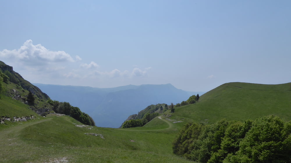
Beim Corno della Paura durchqueren wir ein paar Tunnels und danach fahren wir auf Asphalt hinab nach San Valentino. Nach der Ortschaft San Giacomo geht es sehr abwechslungsreich steil bergab und teilweise auch auf Holzstufen nach Festa.
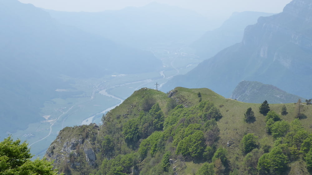
5 Kilometer Anstieg liegen noch vor uns bevor wir auf Asphalt gut 1000 Höhenmeter auf den Gardasee hinunterrollen können.
Retour von Nago auf fast gleichem Weg nach Arco am Gardasee
Galerija izletov

Zemljevid in višinski profil izleta
Minimum height 97 m
Maximum height 1526 m
More about the tour author
|
|
Hoar |
Komentarji

Start und Ziel der Campingplatz Arco am Gardasee
Poti GPS
Trackpoints-
GPX / Garmin Map Source (gpx) download
-
TCX / Garmin Training Center® (tcx) download
-
CRS / Garmin Training Center® (crs) download
-
Google Earth (kml) download
-
G7ToWin (g7t) download
-
TTQV (trk) download
-
Overlay (ovl) download
-
Fugawi (txt) download
-
Kompass (DAV) Track (tk) download
-
List z izleti (pdf) download
-
Original file of the author (gpx) download
More about the tour author
|
|
Hoar |
Add to my favorites
Remove from my favorites
Edit tags
Open track
My score
Rate