


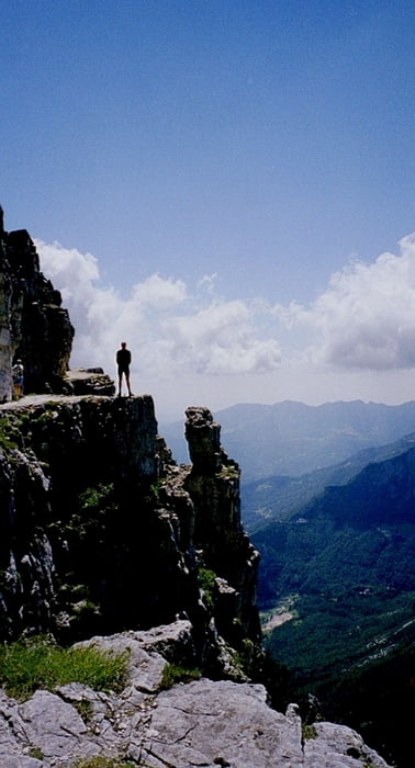
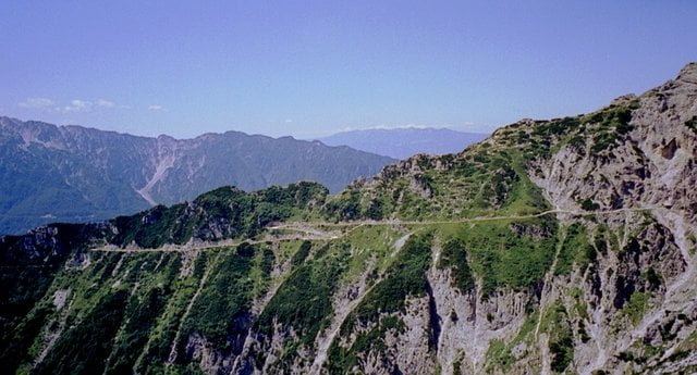
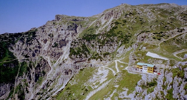
Los gehts am Passo Pian delle Fugazze! Dort gleich auf die Militärstraße "Strada degli Eroi" und jetzt auf Schotter immer rauf! Wir durchqueren auf 1797 m die Galleria D'Havet! Jetzt haben wir den ersten Blick Richtung Strada del 52 Galleries und zum Rifugio Generale Papa! Weiter gehts bis zum Rifugio. Einkehr und Besichtigung der Strada del 52 Galleries zu Fuß sind Pflicht! Weiter gehts durch die Porte del Pasubio und dort rechts weiter bis zum Gipfel Cima Palon! Fast komplett fahrbar ist die Strecke! Oben hat man einen Traumblick und findet viele Relikte aus dem ersten Weldkrieg! Dann gehts Downhill wieder zurück zur Porte del Pasubio. Und dann weiter Downhill auf der Militärstraße bis zum Bochetta di Campiglia und weiter auf Teer zum Passo Xomo und dann weiter zum Ponte werde! Ab hier wieder Uphill zum Passo Pian delle Fugazze unserem Startplatz!
Further information at
http://www.hegibiketours.de/Galerija izletov

Zemljevid in višinski profil izleta
Minimum height 922 m
Maximum height 2232 m
More about the tour author
|
|
hegi |
Komentarji

GuenterEdler
on 15.08.2008
Die Tour ist wirklich beeindruckend. Man sollte sie aber nicht am Sonntag fahren,da hunderte von Fußgängern mit Hund, Kind und Kegel mit Shuttlebussen nach oben gekarrt werden.

tboettch
on 09.10.2008
Landschaftlich sehr schöne Tour ohne fahrtechnische Herausforderungen.
Von Rovereto durchs Vallarsa bis zum Passo Pian delle Fugazze! Dort genügend Parkraum!
Poti GPS
Trackpoints-
GPX / Garmin Map Source (gpx) download
-
TCX / Garmin Training Center® (tcx) download
-
CRS / Garmin Training Center® (crs) download
-
Google Earth (kml) download
-
G7ToWin (g7t) download
-
TTQV (trk) download
-
Overlay (ovl) download
-
Fugawi (txt) download
-
Kompass (DAV) Track (tk) download
-
List z izleti (pdf) download
-
Original file of the author (gpx) download
More about the tour author
|
|
hegi |
Add to my favorites
Remove from my favorites
Edit tags
Open track
My score
Rate