
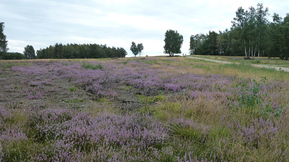

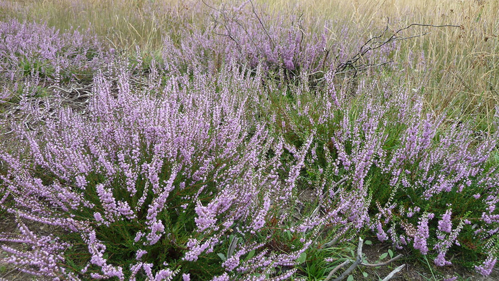
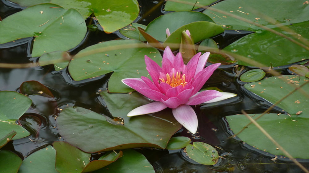
Heute werden Militärische Ausbildungen, Übungen der Bundespolizei, THW und Rotes Kreuz durchgeführt. Somit ist das Betreten des Standortübungsplatzes nur am Wochenende oder an Werktagen nach 17.00 Uhr erlaubt. Das Bild der Schavener Heide wird geprägt durch ausgedehnte Heide mit Übergängen zu mageren Borst und Straußgraswiesen in Kontakt mit Eichen und Mischwälder sowie Birkenwälder. Seit den 90ziger Jahren arbeitet die BW-Verwaltung, Bundesforst und die Biologische Station Euskirchen daran, die Geländebetreuung- und Naturschutzmaßnahmen seltener Arten und Lebensräume zu fördern. Diese Entwicklung trägt zum Erhalt eines arten- und Strukturreichen Naturschutzgebiet bei.
Galerija izletov
Zemljevid in višinski profil izleta
Minimum height 99999 m
Maximum height -99999 m
More about the tour author
|
|
schleidy |
Komentarji

Poti GPS
Trackpoints-
GPX / Garmin Map Source (gpx) download
-
TCX / Garmin Training Center® (tcx) download
-
CRS / Garmin Training Center® (crs) download
-
Google Earth (kml) download
-
G7ToWin (g7t) download
-
TTQV (trk) download
-
Overlay (ovl) download
-
Fugawi (txt) download
-
Kompass (DAV) Track (tk) download
-
List z izleti (pdf) download
-
Original file of the author (gpx) download
More about the tour author
|
|
schleidy |
Add to my favorites
Remove from my favorites
Edit tags
Open track
My score
Rate