Login

Si pozabil/a podatke za prijavo?

Cookies have to be accepted!
Your browser's cookie functionality is disabled. Please enable this functionality.

Not a member yet?

Register now
Login

Available for registred users only

Log in to use this feature.

Si pozabil/a podatke za prijavo?

Cookies have to be accepted!
Your browser's cookie functionality is disabled. Please enable this functionality.

Not a member yet?

Register now
Filter
Kategorije
Advanced filters
  • Dolžina (km)
  • Metri nadmorske višine
Shrani filter Reset filter

TrackRank

QRCode

Technical data

Dolžina7,5 km Metri nadmorske višine397 m Way down398 m Trajanje03:00 h:m Datum08.10.2019
Ocene Author Pokrajina Dejavnik zabave Kondicija Tehnika

Statistika

202 Pogledi Ocene 33 Prenosi Povprečje
Rate
  • List z izleti
  • Prihod
  • Prenosi
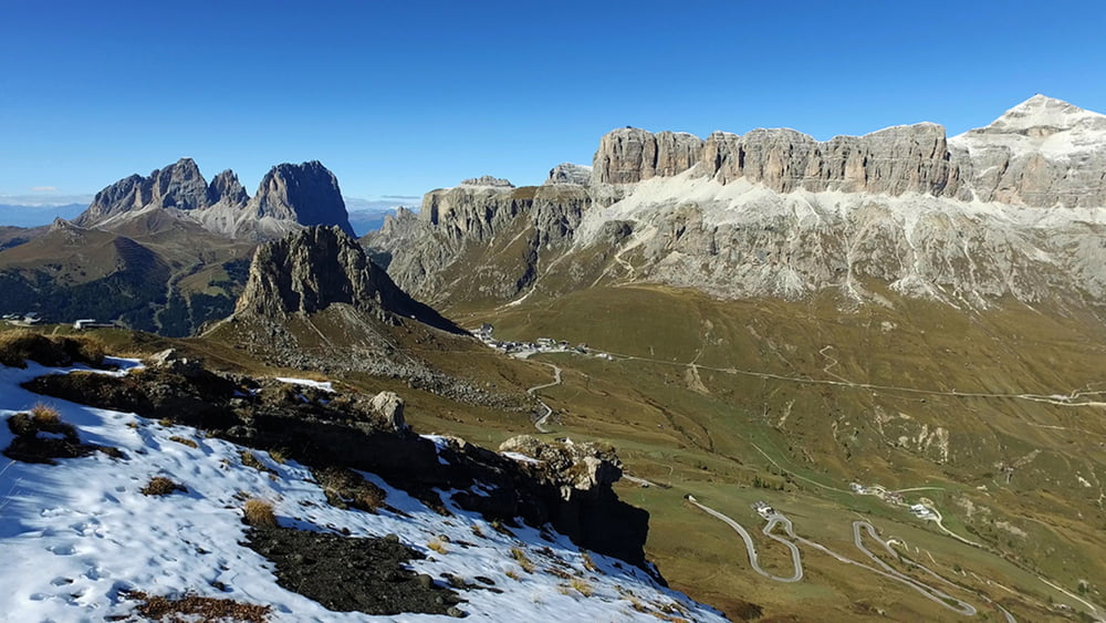
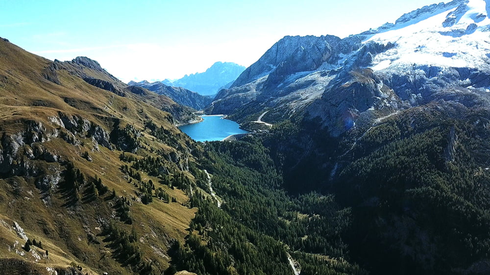
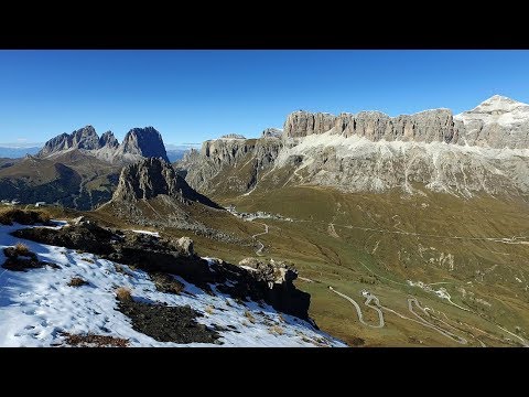
Die ersten Meter steigen allmählich entlang am Fuße des Sasso Becsché an. Ab der Hütte Baita Fredarola bist zur Hütte Viel Dal Pan verläuft der Weg fast eben. Zur Rechten bekleitet uns immer der Marmolada. Von der Hütte Viel Dal Pan geht es dann hinauf auf den Kamm des Berges Sass Ciapel. Dem Kamm folgen wir bis wir die Hütte Baita Fredarola wieder erreichen. Von dort geht es auf dem bekannten Weg zurück zum Pordoijoch.

Galerija izletov

Zemljevid in višinski profil izleta

  • Open Street Map
  • Google
Minimum height 2239 m Maximum height 2539 m Prikaz podrobnosti

More about the tour author

schleidy
Member since 2013

Send private message

Komentarji

Poti GPS

Trackpoints
  • GPX / Garmin Map Source (gpx) download
  • TCX / Garmin Training Center® (tcx) download
  • CRS / Garmin Training Center® (crs) download
  • Google Earth (kml) download
  • G7ToWin (g7t) download
  • TTQV (trk) download
  • Overlay (ovl) download
  • Fugawi (txt) download
  • Kompass (DAV) Track (tk) download
  • List z izleti (pdf) download
  • Original file of the author (gpx) download

More about the tour author

schleidy
Member since 2013

Send private message
Share track
Add to my favorites
Remove from my favorites
Edit tags
My score
Rate
Izlet: Vom Pordoipass zum Col de Cuch
Vrsta: Pešačenje
Dolžina: 7,5 km
Evaluated on:
Trajanje:
Day(s)
Hour(s)
Minute(s)
Ocena: Pokrajina Dejavnik zabave Kondicija Tehnika