Login

Si pozabil/a podatke za prijavo?

Cookies have to be accepted!
Your browser's cookie functionality is disabled. Please enable this functionality.

Not a member yet?

Register now
Login

Available for registred users only

Log in to use this feature.

Si pozabil/a podatke za prijavo?

Cookies have to be accepted!
Your browser's cookie functionality is disabled. Please enable this functionality.

Not a member yet?

Register now
Filter
Kategorije
Advanced filters
  • Dolžina (km)
  • Metri nadmorske višine
Shrani filter Reset filter

TrackRank

QRCode

Technical data

Dolžina11,4 km Metri nadmorske višine466 m Way down463 m Trajanje00:00 h:m Datum20.01.2020
Ocene Author Pokrajina Dejavnik zabave Kondicija Tehnika

Statistika

182 Pogledi Ocene 16 Prenosi Povprečje
Rate
  • List z izleti
  • Prihod
  • Prenosi
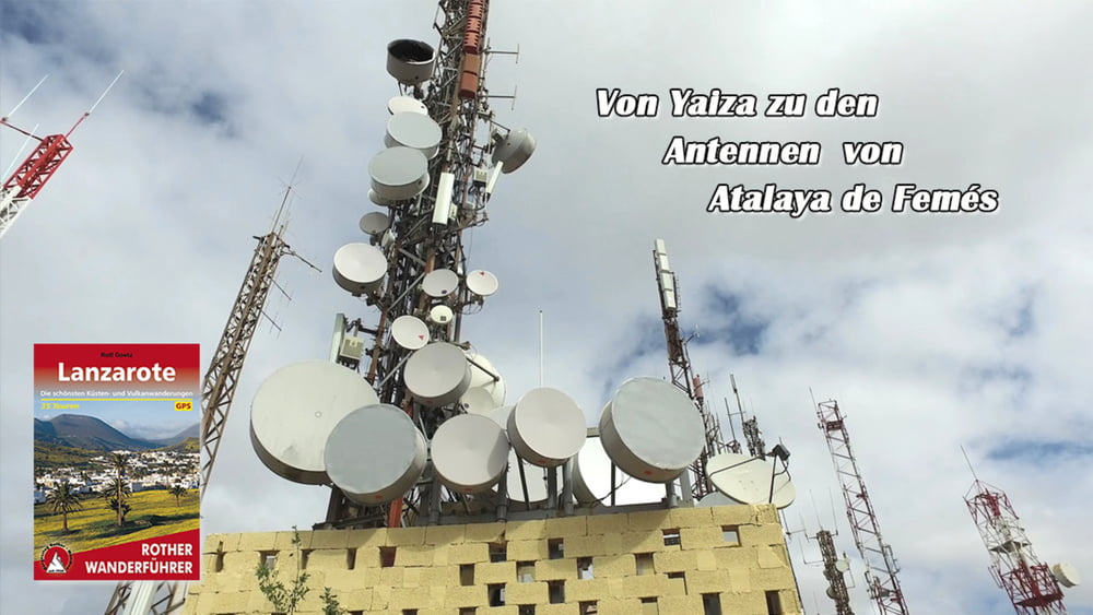
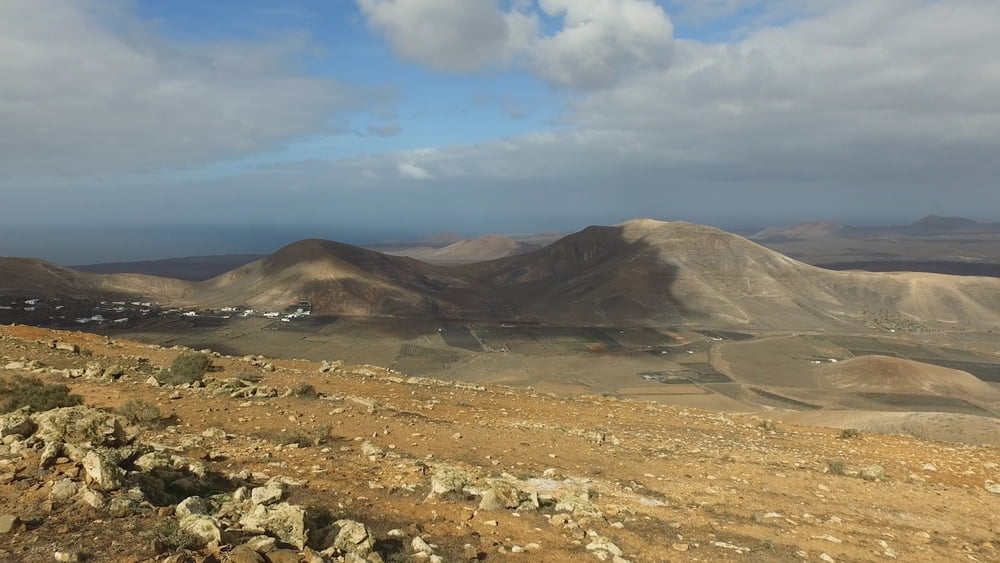
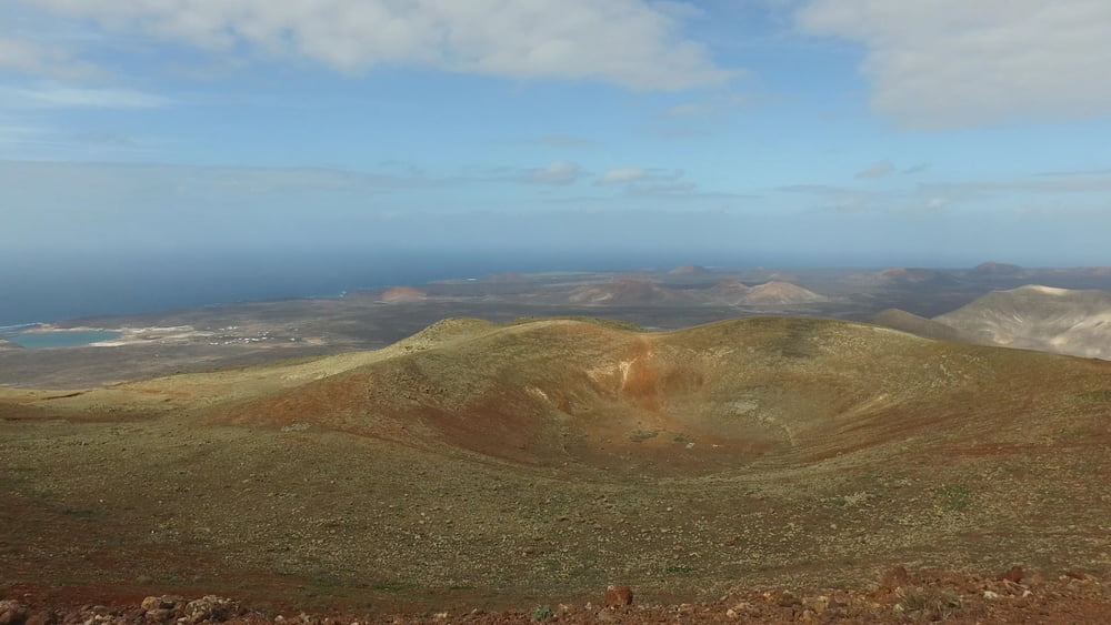
Konditionell ist es schon eine anspruchsvolle Tour. Sie führt meist über feste Wege auf einem der höchsten Berge der Insel. Die Aussicht nach Norden ermöglicht den Blick über den Timanfaya Nationalpark, bis hin zum Mirador del Rio. Nach Süden schaut man hinüber zur Schwesterinsel Fuerteventura. Die komplette Insel liegt einem zu Füßen.

Galerija izletov

Zemljevid in višinski profil izleta

  • Open Street Map
  • Google
Minimum height 184 m Maximum height 614 m Prikaz podrobnosti

More about the tour author

schleidy
Member since 2013

Send private message

Komentarji

Poti GPS

Trackpoints
  • GPX / Garmin Map Source (gpx) download
  • TCX / Garmin Training Center® (tcx) download
  • CRS / Garmin Training Center® (crs) download
  • Google Earth (kml) download
  • G7ToWin (g7t) download
  • TTQV (trk) download
  • Overlay (ovl) download
  • Fugawi (txt) download
  • Kompass (DAV) Track (tk) download
  • List z izleti (pdf) download
  • Original file of the author (gpx) download

More about the tour author

schleidy
Member since 2013

Send private message
Share track
Add to my favorites
Remove from my favorites
Edit tags
My score
Rate
Izlet: Von Yaiza zu den Antennenmasten von Atalaya de Femes
Vrsta: Pešačenje
Dolžina: 11,4 km
Evaluated on:
Trajanje:
Day(s)
Hour(s)
Minute(s)
Ocena: Pokrajina Dejavnik zabave Kondicija Tehnika