


12. Jochberg-Westendorf
Jochberg-Kasereckalm-Pengelstein-MTB "Hahnenkamm"-
bei Kirchberg i. T.-Wiegalm-Kreuzjöchlsee-Brechhornhaus-
Westendorf
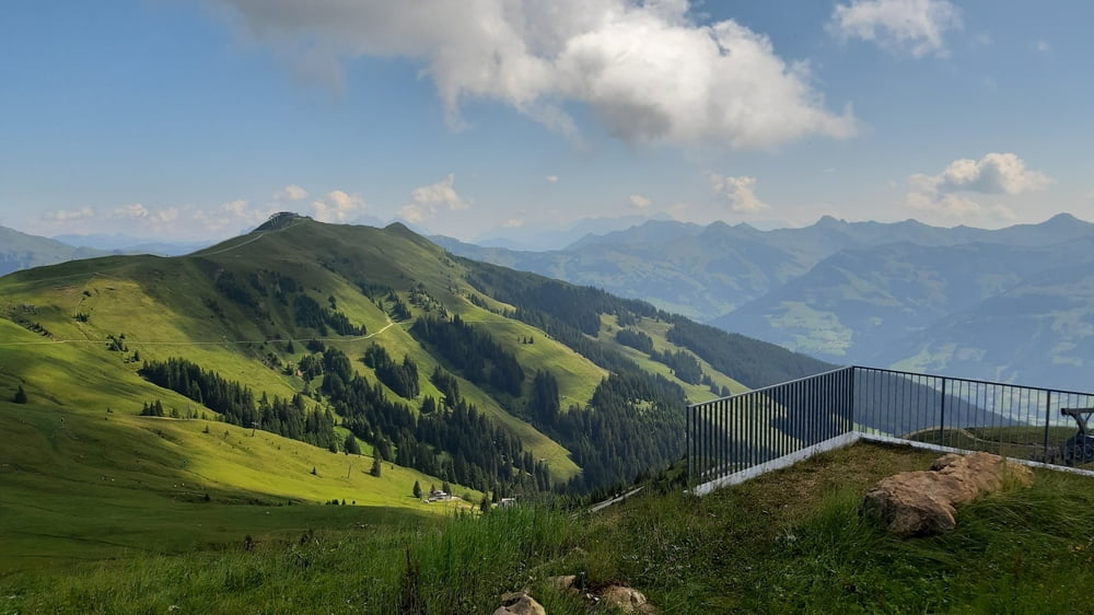
Durchwegs auf MTB Routen. Die 1000 hm zum Pengelstein in angenehmer Steigung auf Schotter. Großartiger Panoramablick vom Gipfel.
Die Abfahrt über die Usterkaralm ist gesperrt, also nehme ich die "Hahnenkamm". Easy auf Schotter und Asphalt. In der Nähe von Kirchberg geht’s dann die "Kobingeralm" Stecke gleich wieder streng bergauf. Asphalt, Schotter.
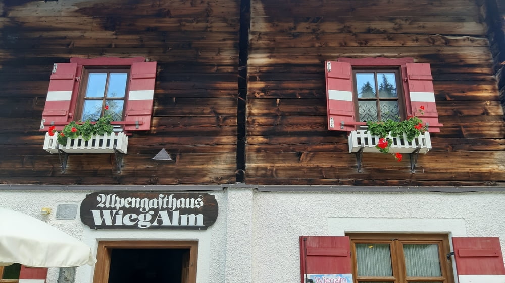
Auf der Wiegalm gut eingekehrt. Zum Brechhornhaus warten noch ca 300 hm, wieter oben Karrenweg, kurze Schiebung.
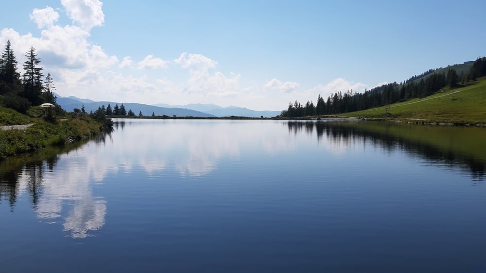
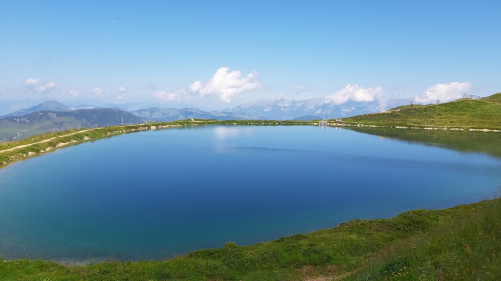
Der Kreujöchlsee oberhalb des Brechhornhauses ist wunderschön!
Abfahrt direkt nach Westendorf. Quartier: Haus Georg, ok.
Further information at
https://www.google.com/search?sxsrf=ALeKk0179T1G_Gi6PmbI5wPXpyTiHsCS4w:1597585987960&source=univ&tbm=isch&q=kreuzj%C3%B6chlsee&client=firefox-b-d&sa=X&ved=2ahUKEwjNxL3K75_rAhWHxosKHX0lDUgQsAR6BAgJEAE&biw=1299&bih=673Galerija izletov
Zemljevid in višinski profil izleta
Minimum height 845 m
Maximum height 1938 m
More about the tour author
|
|
mitter |
Komentarji

Start in Jochberg bei der Pension Ederhof.
Poti GPS
Trackpoints-
GPX / Garmin Map Source (gpx) download
-
TCX / Garmin Training Center® (tcx) download
-
CRS / Garmin Training Center® (crs) download
-
Google Earth (kml) download
-
G7ToWin (g7t) download
-
TTQV (trk) download
-
Overlay (ovl) download
-
Fugawi (txt) download
-
Kompass (DAV) Track (tk) download
-
List z izleti (pdf) download
-
Original file of the author (gpx) download
More about the tour author
|
|
mitter |
Add to my favorites
Remove from my favorites
Edit tags
Open track
My score
Rate