


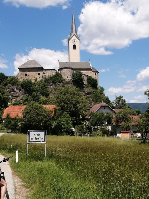
Von Klagenfurt über den Glanradweg nach Ebenthal, Hinterberg, Kosasmojach zur Annabrücke. Dann ins Vellachtal auf den R1D durch Vellach, Müllnern, Richtung Sittersdorf. In Kleinzapfen links weg und bergauf über Hart nach Rückersdorf, vorbei beim Suppenwirt nach St. Primus. Über Vesielach und Steinerberg nach Weitendorf und Stein. Weiter unter der Bahn durch zur Tainacherbrücke bei Seidendorf. Nach der Brücke links weg nach Lassein, Althofen, Bahnbegleitweg durch Grafenstein zurück nach Ebenthal und Klagenfurt
Galerija izletov
Zemljevid in višinski profil izleta
Minimum height 396 m
Maximum height 560 m
More about the tour author
|
|
walderich |
Komentarji

Poti GPS
Trackpoints-
GPX / Garmin Map Source (gpx) download
-
TCX / Garmin Training Center® (tcx) download
-
CRS / Garmin Training Center® (crs) download
-
Google Earth (kml) download
-
G7ToWin (g7t) download
-
TTQV (trk) download
-
Overlay (ovl) download
-
Fugawi (txt) download
-
Kompass (DAV) Track (tk) download
-
List z izleti (pdf) download
-
Original file of the author (gpx) download
More about the tour author
|
|
walderich |
Add to my favorites
Remove from my favorites
Edit tags
Open track
My score
Rate