Login

Si pozabil/a podatke za prijavo?

Cookies have to be accepted!
Your browser's cookie functionality is disabled. Please enable this functionality.

Not a member yet?

Register now
Login

Available for registred users only

Log in to use this feature.

Si pozabil/a podatke za prijavo?

Cookies have to be accepted!
Your browser's cookie functionality is disabled. Please enable this functionality.

Not a member yet?

Register now
Filter
Kategorije
Advanced filters
  • Dolžina (km)
  • Metri nadmorske višine
Shrani filter Reset filter

TrackRank

QRCode

Technical data

Dolžina13,4 km Metri nadmorske višine295 m Way down259 m Trajanje04:00 h:m Datum30.06.2021
Ocene Author Pokrajina Dejavnik zabave Kondicija Tehnika

Statistika

295 Pogledi Ocene 9 Prenosi Povprečje
Rate
  • List z izleti
  • Prihod
  • Prenosi
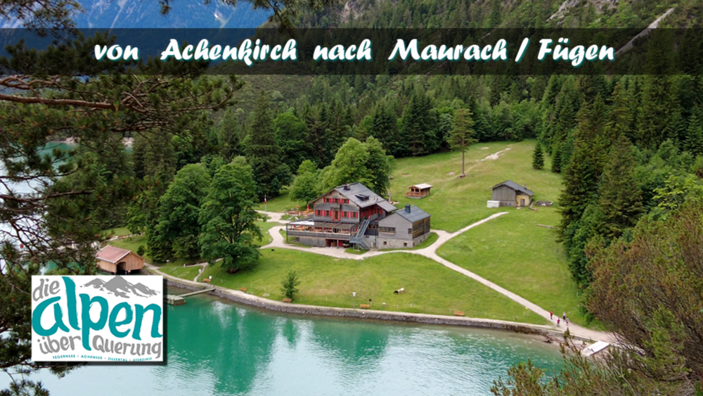
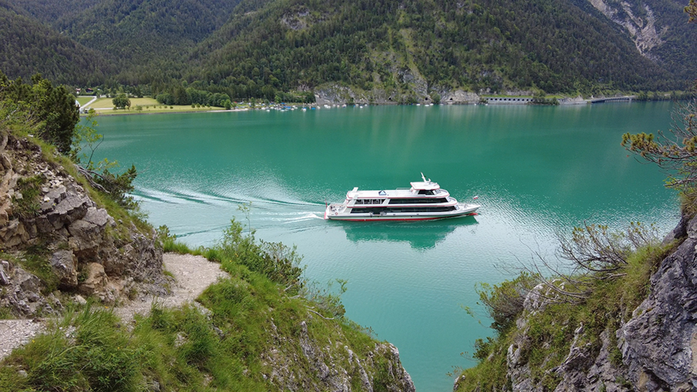
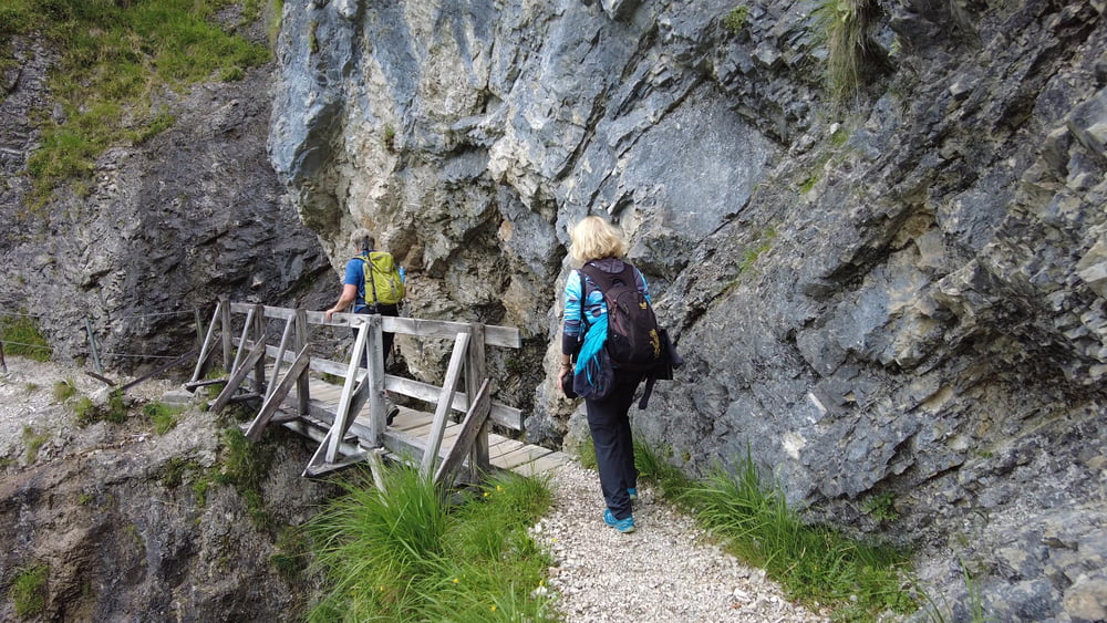
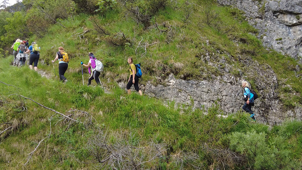
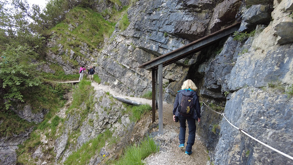
Die Strecke Heute, verspricht laut Tour Beschreibung, Entspannung pur. Die Wanderung verläuft auf der Westseite des Achensees und es sind nur wenige Höhenmeter zu bewältigen. Einmal den Einstieg am See entlang gefunden ist eine Verlaufen bis Pertisau nicht mehr möglich. Wir passieren die Gaisalm und folgen dem Wanderweg weiter etwas oberhalb vom See nach Pertisau. Von dort sind es nur noch 4,5 km bis nach Maubach zur Bushaltestelle.

Galerija izletov

Zemljevid in višinski profil izleta

  • Open Street Map
  • Google
Minimum height 923 m Maximum height 987 m Prikaz podrobnosti

More about the tour author

schleidy
Member since 2013

Send private message

Komentarji

Poti GPS

Trackpoints
  • GPX / Garmin Map Source (gpx) download
  • TCX / Garmin Training Center® (tcx) download
  • CRS / Garmin Training Center® (crs) download
  • Google Earth (kml) download
  • G7ToWin (g7t) download
  • TTQV (trk) download
  • Overlay (ovl) download
  • Fugawi (txt) download
  • Kompass (DAV) Track (tk) download
  • List z izleti (pdf) download
  • Original file of the author (gpx) download

More about the tour author

schleidy
Member since 2013

Send private message
Share track
Add to my favorites
Remove from my favorites
Edit tags
My score
Rate
Izlet: die Alpenüberquerung: Achenkirch - Maurach / Fügen
Vrsta: Pešačenje
Dolžina: 13,4 km
Evaluated on:
Trajanje:
Day(s)
Hour(s)
Minute(s)
Ocena: Pokrajina Dejavnik zabave Kondicija Tehnika