


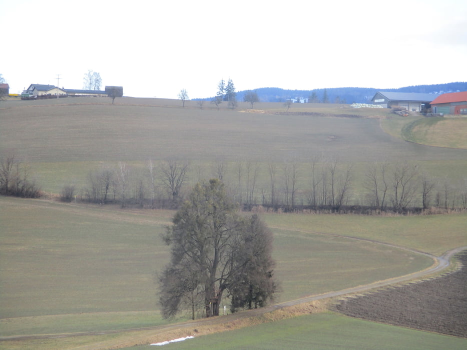
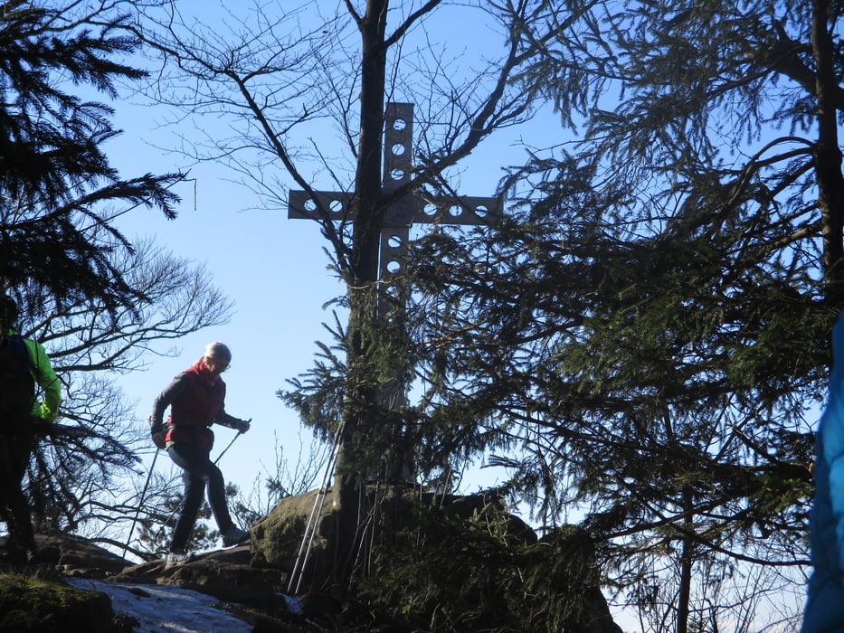
Vom Ortszentrum entlang der Donausteig-Beschilderung vorbei am Naturdenkmal Oberhamberger Linde. Hinab in das Bleicherbachtal und hinauf nach Schlagberg. Über Wiesen wird der Köglerhof erreicht und nach kurzem Anstieg der höchste Punkt der Wanderung, der Koglerauerspitz. Schöner Blick hinab ins Donautal.
Nach Norden hinunter zur Schlagbergstraße und in stetem Auf und Ab zurück nach Gramastetten.
Durchgehend beschildert!
Further information at
https://www.gramastetten.ooe.gv.at/Galerija izletov
Zemljevid in višinski profil izleta
Minimum height 377 m
Maximum height 675 m

Komentarji

Gramastetten ist unter der Woche von Linz mit regelmäßigen Busverbindungen gut erschlossen.
Mit dem Auto sind Parkplätze im Ortszentrum oder in der Linzer Straß0e bei den Schulen.
Mit dem Auto sind Parkplätze im Ortszentrum oder in der Linzer Straß0e bei den Schulen.
Poti GPS
Trackpoints-
GPX / Garmin Map Source (gpx) download
-
TCX / Garmin Training Center® (tcx) download
-
CRS / Garmin Training Center® (crs) download
-
Google Earth (kml) download
-
G7ToWin (g7t) download
-
TTQV (trk) download
-
Overlay (ovl) download
-
Fugawi (txt) download
-
Kompass (DAV) Track (tk) download
-
List z izleti (pdf) download
-
Original file of the author (gpx) download
Add to my favorites
Remove from my favorites
Edit tags
Open track
My score
Rate