Login

Si pozabil/a podatke za prijavo?

Cookies have to be accepted!
Your browser's cookie functionality is disabled. Please enable this functionality.

Not a member yet?

Register now
Login

Available for registred users only

Log in to use this feature.

Si pozabil/a podatke za prijavo?

Cookies have to be accepted!
Your browser's cookie functionality is disabled. Please enable this functionality.

Not a member yet?

Register now
Filter
Kategorije
Advanced filters
  • Dolžina (km)
  • Metri nadmorske višine
Shrani filter Reset filter

TrackRank

QRCode

Technical data

Dolžina9,7 km Metri nadmorske višine1009 m Way down1014 m Trajanje03:00 h:m Datum08.03.2022
Ocene Author Pokrajina Dejavnik zabave Kondicija Tehnika

Statistika

97 Pogledi Ocene 0 Prenosi Povprečje
Rate
  • List z izleti
  • Prihod
  • Prenosi
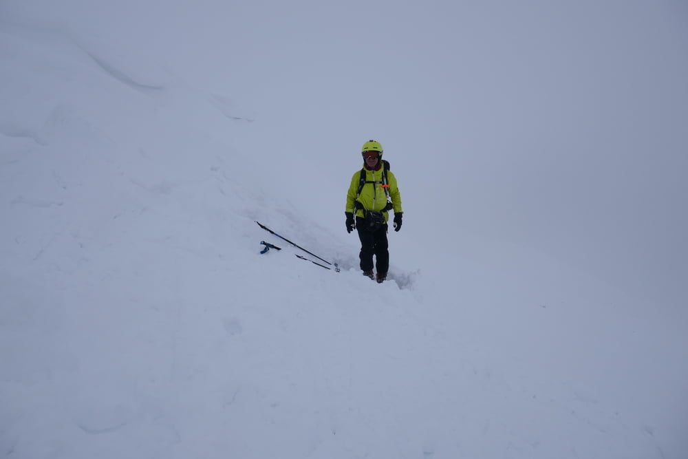
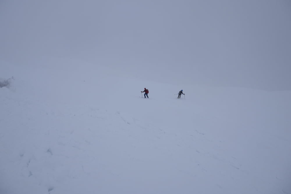
Von Antochori auf kleinem Sträßchen bis zur Schneegrenze. Man kann sicher häufig einige Kehren weiter fahren als wir. Zuerst der Straße oder je nach Schneelage die Kehren abkürzend relativ flach das Tal hinein. Nun sucht man sich die angenehmste Aufstiegsroute nach rechts über die Baumfreien Hänge bis zum Gipfel. Wir steckten in Nebel und Schneefall, so kann bei Sicht die Route sicher optimiert werden.

Galerija izletov

Zemljevid in višinski profil izleta

  • Open Street Map
  • Google
Minimum height 1177 m Maximum height 2214 m Prikaz podrobnosti

More about the tour author

Gi
Member since 2010

Send private message

Komentarji

Von Metsovo kleine verschlungene Sträßchen zum Bach hinunter und wieder hinauf bis nach Antochori. Dort zum Fußballplatz bzw. je nach Schneelage auf der Kiesstraße weiter bis zur Schneegrenze

Poti GPS

Trackpoints
  • GPX / Garmin Map Source (gpx) download
  • TCX / Garmin Training Center® (tcx) download
  • CRS / Garmin Training Center® (crs) download
  • Google Earth (kml) download
  • G7ToWin (g7t) download
  • TTQV (trk) download
  • Overlay (ovl) download
  • Fugawi (txt) download
  • Kompass (DAV) Track (tk) download
  • List z izleti (pdf) download
  • Original file of the author (gpx) download

More about the tour author

Gi
Member since 2010

Send private message
Share track
Add to my favorites
Remove from my favorites
Edit tags
My score
Rate
Izlet: Kalogiros
Vrsta: Smuči
Dolžina: 9,7 km
Evaluated on:
Trajanje:
Day(s)
Hour(s)
Minute(s)
Ocena: Pokrajina Dejavnik zabave Kondicija Tehnika