Login

Si pozabil/a podatke za prijavo?

Cookies have to be accepted!
Your browser's cookie functionality is disabled. Please enable this functionality.

Not a member yet?

Register now
Login

Available for registred users only

Log in to use this feature.

Si pozabil/a podatke za prijavo?

Cookies have to be accepted!
Your browser's cookie functionality is disabled. Please enable this functionality.

Not a member yet?

Register now
Filter
Kategorije
Advanced filters
  • Dolžina (km)
  • Metri nadmorske višine
Shrani filter Reset filter

TrackRank

QRCode

Technical data

Dolžina14,2 km Metri nadmorske višine1299 m Way down1312 m Trajanje04:30 h:m Datum14.03.2022
Ocene Author Pokrajina Dejavnik zabave Kondicija Tehnika

Statistika

167 Pogledi Ocene 0 Prenosi Povprečje
Rate
  • List z izleti
  • Prihod
  • Prenosi
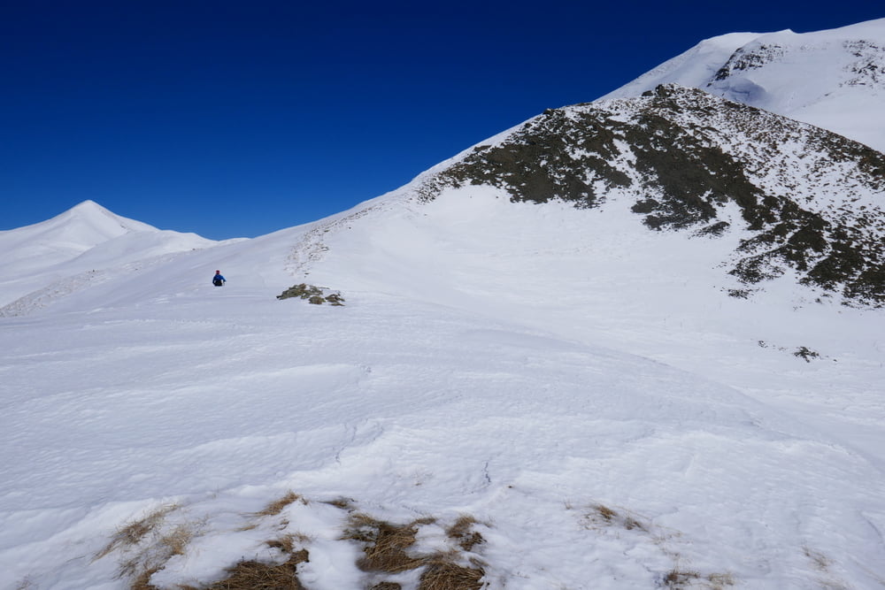
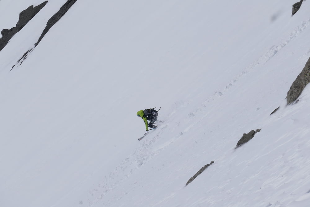
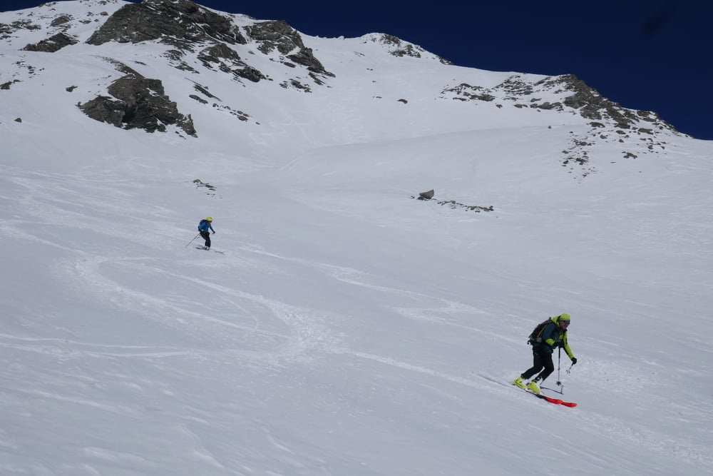
Vom Parkplatz auf Forststraße taleinwärts bis zu ihe Ende. Kleine Bach überqueren und dann leucht links haltend das große Talschlusskar hinauf. Man kann hier auch eine etwas direktere Linie als unserere Aufstiegroute verfolgen. Dann über den Gratrücken hinauf zum Gipfel des Grammos. Wenn die Verhältnisse es erlauben kann  man über die bis zu 40° steile Südflanke direkt in den Talgrund abfahren. Zuetzt wieder auf der Forststraße hinaus zum Parkplatz.

Galerija izletov

Zemljevid in višinski profil izleta

  • Open Street Map
  • Google
Minimum height 1230 m Maximum height 2550 m Prikaz podrobnosti

More about the tour author

Gi
Member since 2010

Send private message

Komentarji

Von Konitsa auf der Hauptstraße in Richtung Kosany. Links abbiegen nach Plikati, durchs Dorf fahren und kurz unterhalb des Hotels Agrioulouloud Grammos parken

Poti GPS

Trackpoints
  • GPX / Garmin Map Source (gpx) download
  • TCX / Garmin Training Center® (tcx) download
  • CRS / Garmin Training Center® (crs) download
  • Google Earth (kml) download
  • G7ToWin (g7t) download
  • TTQV (trk) download
  • Overlay (ovl) download
  • Fugawi (txt) download
  • Kompass (DAV) Track (tk) download
  • List z izleti (pdf) download
  • Original file of the author (gpx) download

More about the tour author

Gi
Member since 2010

Send private message
Share track
Add to my favorites
Remove from my favorites
Edit tags
My score
Rate
Izlet: Grammos (Tsouka Petsik) 2523 m
Vrsta: Smuči
Dolžina: 14,2 km
Evaluated on:
Trajanje:
Day(s)
Hour(s)
Minute(s)
Ocena: Pokrajina Dejavnik zabave Kondicija Tehnika