


Les Saisies-Rif. Monte Bianco
Les Saisies-Beaufort-Cormet de Roselend (1967m)-Chapieux-
Ref. De La Nova-Ville de Glaciers-Rif. Des Mottets-Col de la Seigne (2515m)-
Rif. Elisabetta-Rif. Monte Bianco
Trotz des hohen Asphaltanteils (ca 55km) sehr schöne Etappe.Der Anstieg zum Cormet de Roselend ist abseits der Straße leider nicht möglich, da es gkeich zu Beginn einen unüberbrückbaren Graben gibt. .
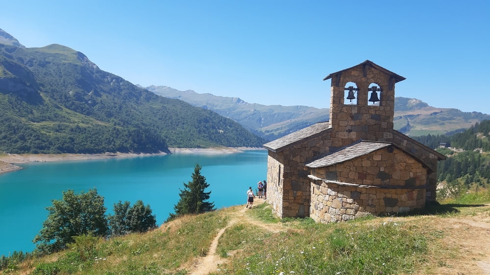
Die 20km auf der Straße sind bis zum Stausee noch relativ gemütlich zu bewältigen, da die Straße für Motorräder, Autos und Rädes breit genug ist.Nachher wird's enger und unangenehmer. Ab dem Refuge De la Nova wird es ruhiger.
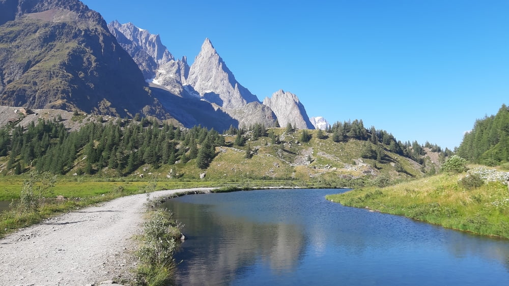
Gemütlicher Anstieg auf Schotter bis zum Ref. Mottets. Da beginnt der sehr schöne trail bis zum Col de la Seigne. Bei genügend Kraftreserven wäre der Großteil fahrbar. Herrliche Ausblicke zum Gletscher des Mont Blanc Massivs. Runter teils tricky, das Meiste ist aber
gut fahrbar. Weiterhin viele Fotomotive! Beim Rif. Elisabetta, am Weg gibt es einen Brunnen.
Quartier: Rif. Monte Bianco, HP 56€, gut.
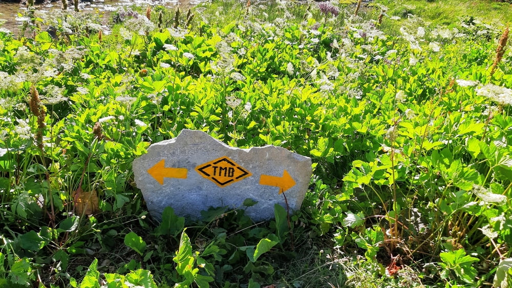
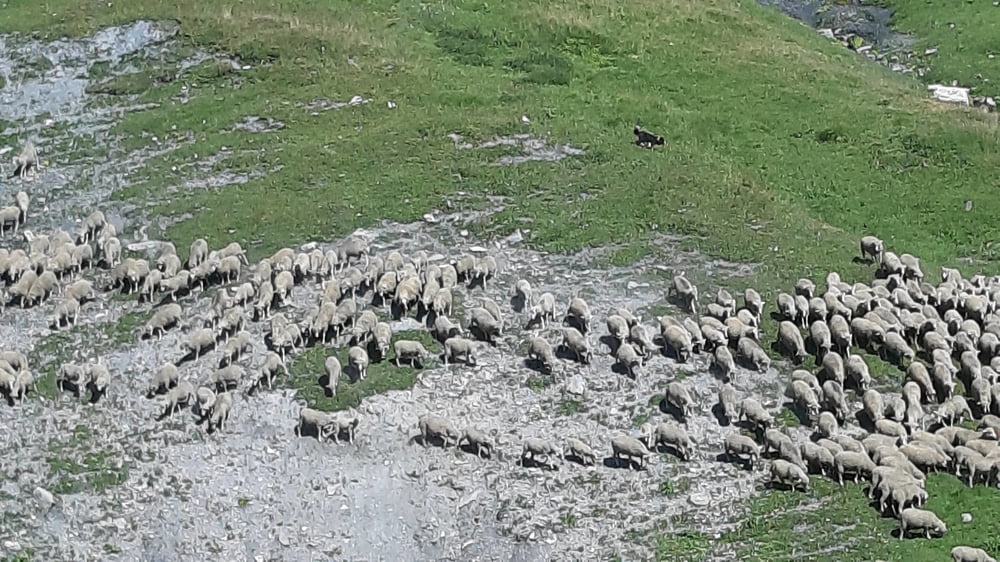
Galerija izletov
Zemljevid in višinski profil izleta
Minimum height 740 m
Maximum height 2515 m
More about the tour author
|
|
mitter |
Komentarji

Start in Les Saisies Hotel Le Very.
Poti GPS
Trackpoints-
GPX / Garmin Map Source (gpx) download
-
TCX / Garmin Training Center® (tcx) download
-
CRS / Garmin Training Center® (crs) download
-
Google Earth (kml) download
-
G7ToWin (g7t) download
-
TTQV (trk) download
-
Overlay (ovl) download
-
Fugawi (txt) download
-
Kompass (DAV) Track (tk) download
-
List z izleti (pdf) download
-
Original file of the author (gpx) download
More about the tour author
|
|
mitter |
Add to my favorites
Remove from my favorites
Edit tags
Open track
My score
Rate