Login

Si pozabil/a podatke za prijavo?

Cookies have to be accepted!
Your browser's cookie functionality is disabled. Please enable this functionality.

Not a member yet?

Register now
Login

Available for registred users only

Log in to use this feature.

Si pozabil/a podatke za prijavo?

Cookies have to be accepted!
Your browser's cookie functionality is disabled. Please enable this functionality.

Not a member yet?

Register now
Filter
Kategorije
Advanced filters
  • Dolžina (km)
  • Metri nadmorske višine
Shrani filter Reset filter

TrackRank

QRCode

Technical data

Dolžina14,5 km Metri nadmorske višine269 m Way down268 m Trajanje00:00 h:m Datum25.03.2023
Ocene Author Pokrajina Dejavnik zabave Kondicija Tehnika

Statistika

149 Pogledi Ocene 0 Prenosi Povprečje
Rate
  • List z izleti
  • Prihod
  • Prenosi
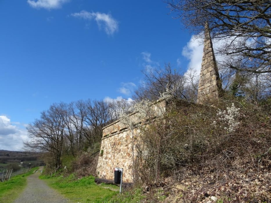
Erst gehts durch Niederwalluf und an den Rhein, danach weiter durch die Weiberge zum Spitzen Stein und zur Burg Frauenstein, durch das Naturschutzgebiet der Äskulapnatter gehts zurück nach Niederwalluf

Further information at

https://sonntagswandern.de/von-niederwalluf-zur-burg-frauenstein-25-maerz-2023/

Galerija izletov

Zemljevid in višinski profil izleta

  • Open Street Map
  • Google
Minimum height 142 m Maximum height 296 m Prikaz podrobnosti

More about the tour author

Sonntagswanderin
Member since 2020

Send private message

Komentarji

mit der Rheingaulinie bis nach Niederwalluf

Poti GPS

Trackpoints
  • GPX / Garmin Map Source (gpx) download
  • TCX / Garmin Training Center® (tcx) download
  • CRS / Garmin Training Center® (crs) download
  • Google Earth (kml) download
  • G7ToWin (g7t) download
  • TTQV (trk) download
  • Overlay (ovl) download
  • Fugawi (txt) download
  • Kompass (DAV) Track (tk) download
  • List z izleti (pdf) download
  • Original file of the author (gpx) download

More about the tour author

Sonntagswanderin
Member since 2020

Send private message
Share track
Add to my favorites
Remove from my favorites
Edit tags
My score
Rate
Izlet: Von Niederwalluf zur Burg Frauenstein
Vrsta: Pešačenje
Dolžina: 14,5 km
Evaluated on:
Trajanje:
Day(s)
Hour(s)
Minute(s)
Ocena: Pokrajina Dejavnik zabave Kondicija Tehnika