Login

Si pozabil/a podatke za prijavo?

Cookies have to be accepted!
Your browser's cookie functionality is disabled. Please enable this functionality.

Not a member yet?

Register now
Login

Available for registred users only

Log in to use this feature.

Si pozabil/a podatke za prijavo?

Cookies have to be accepted!
Your browser's cookie functionality is disabled. Please enable this functionality.

Not a member yet?

Register now
Filter
Kategorije
Advanced filters
  • Dolžina (km)
  • Metri nadmorske višine
Shrani filter Reset filter

TrackRank

QRCode

Technical data

Dolžina9,2 km Metri nadmorske višine87 m Way down90 m Trajanje02:00 h:m Datum12.11.2023
Ocene Author Pokrajina Dejavnik zabave Kondicija Tehnika

Statistika

161 Pogledi Ocene 1 Prenos Povprečje
Rate
  • List z izleti
  • Prihod
  • Prenosi
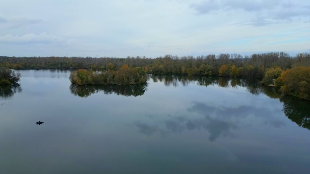
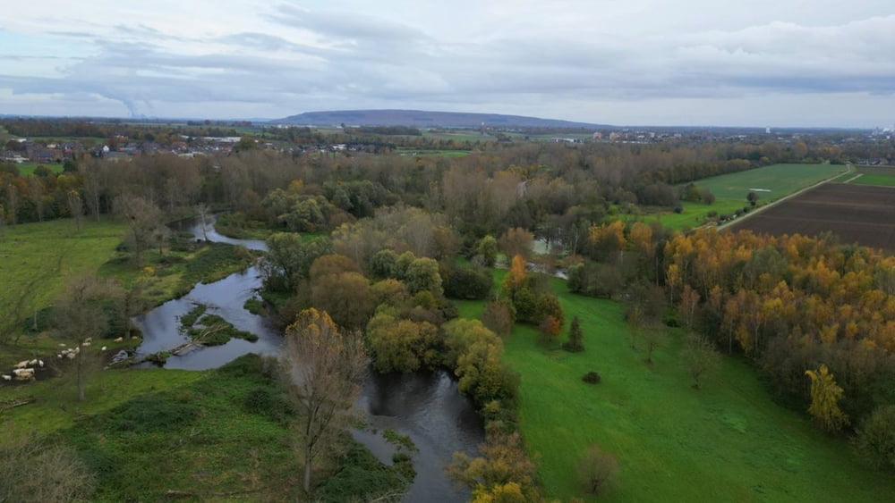
Mooi wandelen door het hinterland van Jülich en langs de rivier Rur.
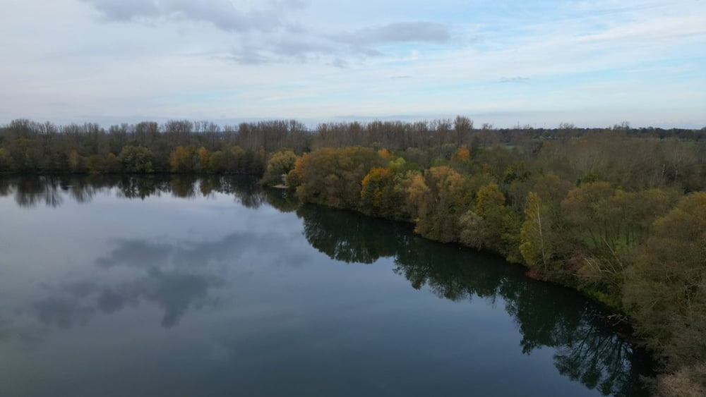
De barmersee word ook aangedaan.
Onderweg is er geen horeca.
Parkeren kan aan het Bruckenkopf-Park

Galerija izletov

Zemljevid in višinski profil izleta

  • Open Street Map
  • Google
Minimum height 65 m Maximum height 101 m Prikaz podrobnosti

More about the tour author

ikkel
Member since 2009

Send private message

Komentarji

Poti GPS

Trackpoints
  • GPX / Garmin Map Source (gpx) download
  • TCX / Garmin Training Center® (tcx) download
  • CRS / Garmin Training Center® (crs) download
  • Google Earth (kml) download
  • G7ToWin (g7t) download
  • TTQV (trk) download
  • Overlay (ovl) download
  • Fugawi (txt) download
  • Kompass (DAV) Track (tk) download
  • List z izleti (pdf) download
  • Original file of the author (gpx) download

More about the tour author

ikkel
Member since 2009

Send private message
Share track
Add to my favorites
Remove from my favorites
Edit tags
My score
Rate
Izlet: Jülich
Vrsta: Pešačenje
Dolžina: 9,2 km
Evaluated on:
Trajanje:
Day(s)
Hour(s)
Minute(s)
Ocena: Pokrajina Dejavnik zabave Kondicija Tehnika