Login

Si pozabil/a podatke za prijavo?

Cookies have to be accepted!
Your browser's cookie functionality is disabled. Please enable this functionality.

Not a member yet?

Register now
Login

Available for registred users only

Log in to use this feature.

Si pozabil/a podatke za prijavo?

Cookies have to be accepted!
Your browser's cookie functionality is disabled. Please enable this functionality.

Not a member yet?

Register now
Filter
Kategorije
Advanced filters
  • Dolžina (km)
  • Metri nadmorske višine
Shrani filter Reset filter

TrackRank

QRCode

Technical data

Dolžina49,7 km Metri nadmorske višine1034 m Way down1030 m Trajanje04:00 h:m Datum09.07.2008
Ocene Author User Pokrajina Dejavnik zabave Kondicija Tehnika

Statistika

1017 Pogledi 3 Ocene 193 Prenosi 3.67 Povprečje
Rate
  • List z izleti
  • Prihod
  • Prenosi

Zemljevid in višinski profil izleta

  • Open Street Map
  • Google
Minimum height 219 m Maximum height 376 m Prikaz podrobnosti

More about the tour author

rswowo
Member since 2007

Send private message

Komentarji

sloggy21 on 09.04.2010

Obwohl ich seit ca. 4 Jahren in der Umgebung wohne, bin ich heute mit einem Kumpel das erste Mal die Pur (grün) gefahren. Bin echt begeistert von der Landschaft, dem schönen Ausblick und den zahlreichen Trails, die teilweise wirklich anspruchsvoll sind. Auch die Beschilderung ist gelungen. Super Tour.
JayKay666 on 25.08.2013

Super

Also ich bin die Pur(Grün wie blau) jetzt schon mehrfach gefahren mit Kumpels und finde es als die schönste Strecke in meiner Umgebung. Ich bin begeistert davon, dass hier wirklich etwas getan wird um den MTB´s etwas zu bieten!
Absolut empfehlenswert
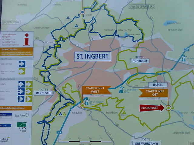
Abfahrt und Ende am Parkplatz zw. Hassel und Niederwürzbach. Hinweis: Braune Schilder "MBT-Strecke"

Poti GPS

Trackpoints
  • GPX / Garmin Map Source (gpx) download
  • TCX / Garmin Training Center® (tcx) download
  • CRS / Garmin Training Center® (crs) download
  • Google Earth (kml) download
  • G7ToWin (g7t) download
  • TTQV (trk) download
  • Overlay (ovl) download
  • Fugawi (txt) download
  • Kompass (DAV) Track (tk) download
  • List z izleti (pdf) download
  • Original file of the author (gpx) download

More about the tour author

rswowo
Member since 2007

Send private message
Share track
Add to my favorites
Remove from my favorites
Edit tags
My score
Rate
Izlet: Die PUR, Grüne Route
Vrsta: Gorsko kolo
Dolžina: 49,7 km
Evaluated on:
Trajanje:
Day(s)
Hour(s)
Minute(s)
Ocena: Pokrajina Dejavnik zabave Kondicija Tehnika