


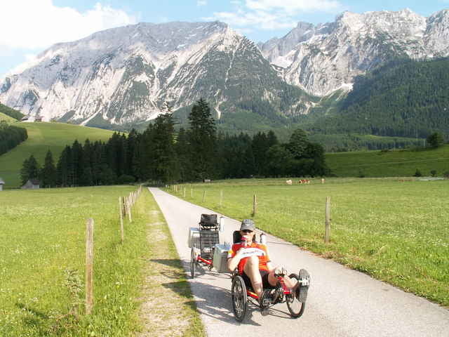
Ausgehend vom Bahnhof Selzthal am Ennstalradweg wunderschön bis zum Schloß Trautenfels. Steil (16%) bergauf nach bad Mitterndorf, Bad Aussee, Pötschenpass, Bad Goisern, Bad Ischl, Ebensee, Gmunden und dann mit einem leichten Umweg über Vorchdorf, Pettenbach, Magdalenaberg nach Kirchdorf/Micheldorf ins Kremstal.
Wir sind es in 2 Tagen gefahren, daher hat der Track 1000 WP!
(HPV.org)
Nachtrag: Die Höhendaten erscheinen verschoben - k.A. was da passiert ist, aber es dürfte nur die Lage nicht stimmen, ansonsten ok.
Wir sind es in 2 Tagen gefahren, daher hat der Track 1000 WP!
(HPV.org)
Nachtrag: Die Höhendaten erscheinen verschoben - k.A. was da passiert ist, aber es dürfte nur die Lage nicht stimmen, ansonsten ok.
Galerija izletov
Zemljevid in višinski profil izleta
Minimum height 399 m
Maximum height 994 m
More about the tour author
|
|
toxy |
Komentarji

Mit den ÖBB nach Selzthal.
Poti GPS
Trackpoints-
GPX / Garmin Map Source (gpx) download
-
TCX / Garmin Training Center® (tcx) download
-
CRS / Garmin Training Center® (crs) download
-
Google Earth (kml) download
-
G7ToWin (g7t) download
-
TTQV (trk) download
-
Overlay (ovl) download
-
Fugawi (txt) download
-
Kompass (DAV) Track (tk) download
-
List z izleti (pdf) download
-
Original file of the author (g7t) download
More about the tour author
|
|
toxy |
Add to my favorites
Remove from my favorites
Edit tags
Open track
My score
Rate