


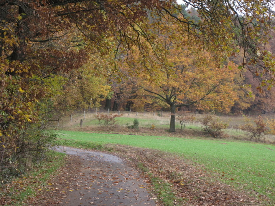
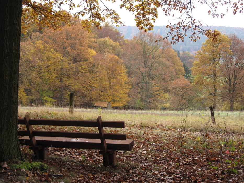
Herbstwanderung durch den Odenwald bei Bad König. Mein Startpunkt lag oberhalb von Bad König. Zunächst ging es über einen Feldweg bis zum Waldrand, dann im Wald weiter.
Die Archäologischen Fundstätten (Hügelgräber) erwiesen sich als Flopp - ich hatte die Koordinaten der Hügelgräber aus "map source" in meinen Garmin geladen. Gefunden habe ich aber gar nichts, nicht einmal ein paar Findlinge.
(Haftungsausschluss: siehe Nutzungsbestimmungen)
Die Archäologischen Fundstätten (Hügelgräber) erwiesen sich als Flopp - ich hatte die Koordinaten der Hügelgräber aus "map source" in meinen Garmin geladen. Gefunden habe ich aber gar nichts, nicht einmal ein paar Findlinge.
(Haftungsausschluss: siehe Nutzungsbestimmungen)
Further information at
http://de.wikipedia.org/wiki/Bad_K%C3%B6nigGalerija izletov
Zemljevid in višinski profil izleta
Minimum height 218 m
Maximum height 375 m
More about the tour author
|
|
riemchens |
Komentarji

Über Höchst im Odenwald bis Bad König. In Bad König Richtung Vielbrunn links abbiegen - dann links in die Mainstraße hoch ins Wohngebiet bis zum Ende der Straße.
Poti GPS
Trackpoints-
GPX / Garmin Map Source (gpx) download
-
TCX / Garmin Training Center® (tcx) download
-
CRS / Garmin Training Center® (crs) download
-
Google Earth (kml) download
-
G7ToWin (g7t) download
-
TTQV (trk) download
-
Overlay (ovl) download
-
Fugawi (txt) download
-
Kompass (DAV) Track (tk) download
-
List z izleti (pdf) download
-
Original file of the author (gpx) download
More about the tour author
|
|
riemchens |
Add to my favorites
Remove from my favorites
Edit tags
Open track
My score
Rate